
What is recorded here
Triple-arch road bridge, built c.1845, flanked by piers and pedestrian walkways through bridge. Rock-faced limestone walls. Round-headed arch-rings with cut stone voussoirs. U-cutwaters up and down stream. Cut limestone parapet with inscription to north side. Quay to south side of bridge on east bank with cast-iron mooring posts. Cut stone gate piers to east of bridge gives access to river bank. This bridge spans the River Boyle.
This multiple-arch road bridge forms an attractive group with the adjacent quay. The use of cut stone and rock-faced stone adds textural variation and the presence of the quay is a testimony to the long tradition of boating on the river. A barely legible inscription on the parapet with a date of 1727 identifies the presence of an earlier bridge. A crisper inscription to the base reads 'removed from old bridge 1846' which refers to the construction of the new bridge.
This does not grant access. Most recorded buildings are privately owned; view them only from public ground unless the owner allows entry.
Places near here
 Religious houseReligious house, Franciscan Third Order Regular · 249 yd
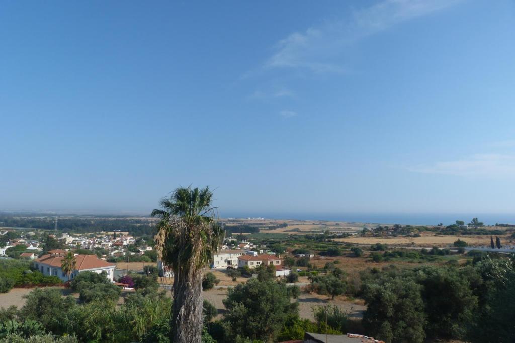 Bishops SeatEcclesiastical residence · 537 yd
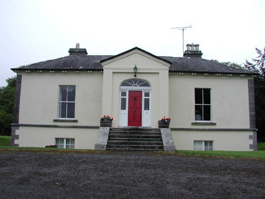 Riversdale Housecountry house · 551 yd
 Tober PatrickHoly well · 946 yd
 Errironagh WoodForest · 1669 yd
 Lahan IslandIslet · 1.3 mi
 Longford HillMountain / peak · 1.6 mi
 Green IslandIslet · 1.6 mi
 Smutternagh WoodWood · 1.7 mi
 Lough Key Forest ParkWood · 2.4 mi
 Erris BayBay · 2.8 mi
 Turlough O'CarolanMemorial · 4.3 mi
Other information
Photo: Brian Shaw · CC BY-SA 2.0