
What is recorded here
Marked similarly as 'Tober Patrick' on the 1837 and 1911 editions of the OS 6-inch map, and situated towards the bottom of the NW-facing slope of a low drumlin. A dry hollow (diam. 10m) opening out to the NW in pasture. There is no evidence of, or local knowledge of, veneration.
Compiled by: Michael Moore
Date of upload: 24 August 2010
Linked to St. Patrick, the well is associated with traditional Celtic Christian pilgrimage and healing practices. It may have been visited for general health cures or as part of early summer rituals, common at sites named for the saint.
The monument record does not grant public access. Check the route and ask the landowner before entering private land.
- What survives
- Recorded monument
Places near here
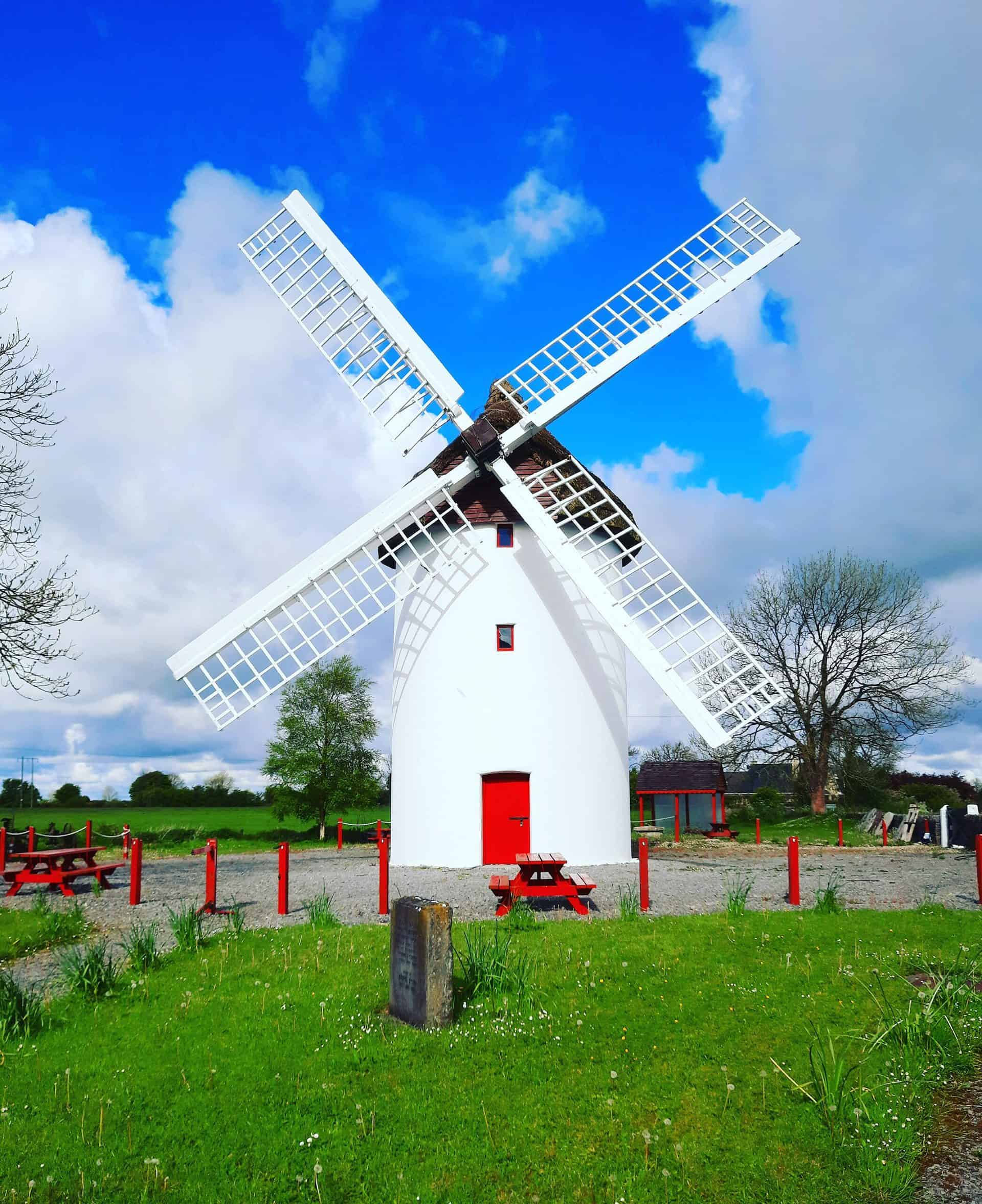 IndicatedFairy fort / stone ringfort · 274 yd
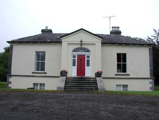 Riversdale Housecountry house · 444 yd
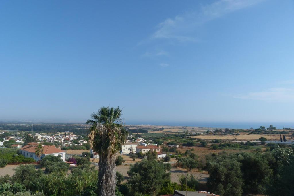 Bishops SeatEcclesiastical residence · 724 yd
 Knockvicar BridgeOfficially recorded historic building · 946 yd
 Errironagh WoodForest · 1.2 mi
 Lahan IslandIslet · 1.3 mi
 Smutternagh WoodWood · 1.5 mi
 Ash IslandsIslet · 1.7 mi
 Longford HillMountain / peak · 2.0 mi
 Lough Key Forest ParkWood · 2.7 mi
 Erris BayBay · 3.0 mi
 Turlough O'CarolanMemorial · 3.8 mi
Other information
Photo: Credit not shown in the picture search · Rights wording not checked; contact us if this picture should be removed