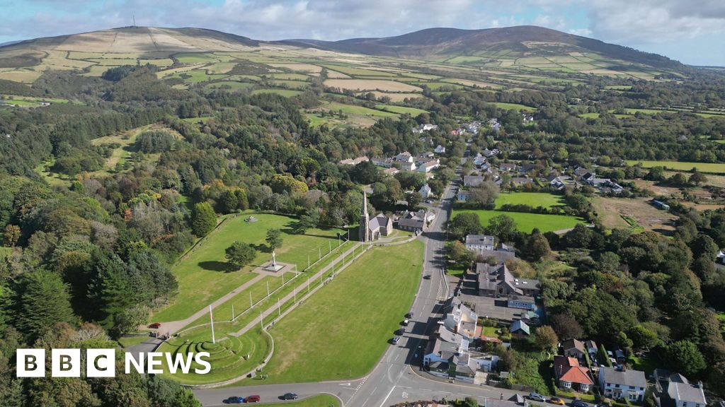
What is recorded here
On a low rise in a low-lying landscape. Circular grass and rush-covered area (diam. 25.7m N-S; 25.2m E-W) defined by an overgrown but gapped and poached earthen bank (Wth 4.5-6m; int. H 0.2m at E to 0.5-0.8m generally; ext. H 1.8m generally to 2.5m at S). There is no visible fosse or original entrance, but an upright limestone stone (RO003-062002-) (dims. 0.8m x 0.1m; H 0.75m) is inside the perimeter at ENE. Earthwork (RO003-060----) is c. 160m to the NNE and enclosure (RO003-061----) is c. 170m to the NE.
Compiled by: Michael Moore
Date of upload: 24 August 2010
The monument record does not grant public access. Check the route and ask the landowner before entering private land.
- What survives
- Recorded monument
Places near here
 Tober PatrickHoly well · 1209 yd
 Ecclesiastical enclosure in KnockadaffEcclesiastical enclosure · 1230 yd
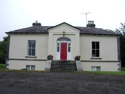 Riversdale Housecountry house · 1476 yd
 Knockvicar BridgeOfficially recorded historic building · 1645 yd
 Errironagh WoodForest · 1.8 mi
 Lahan IslandIslet · 2.0 mi
 Smutternagh WoodWood · 2.2 mi
 Ash IslandsIslet · 2.4 mi
 Longford HillMountain / peak · 2.5 mi
 Turlough O'CarolanMemorial · 3.4 mi
 Erris BayBay · 3.7 mi
 Battle of Áth an Chipbattle · 4.1 mi
Other information
Photo: Credit not shown in the picture search · Rights wording not checked; contact us if this picture should be removed