
What is recorded here
Towards the top of the S-facing slopes of a drumlin. A curving scarp (H 0.5-1m) E-S outside the E wall of the graveyard (RO006-021002-) may be part of an original enclosure surrounding the church site (diam. c. 70m).
Compiled by: Michael Moore
Date of upload: 24 August 2010
The monument record does not grant public access. Check the route and ask the landowner before entering private land.
- What survives
- Recorded monument
Places near here
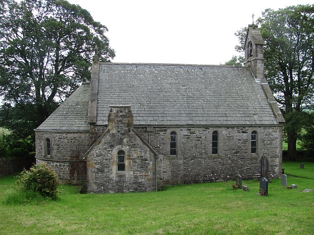 Killeenan Church (Site of)Church · 9 yd
 IndicatedFairy fort / earthen ringfort · 1020 yd
 Knockvicar BridgeOfficially recorded historic building · 1360 yd
 Religious houseReligious house, Franciscan Third Order Regular · 1608 yd
 Errironagh WoodForest · 1.7 mi
 Longford HillMountain / peak · 2.2 mi
 Swallow IslandIslet · 2.4 mi
 Smutternagh WoodWood · 2.4 mi
 Ash IslandsIslet · 2.6 mi
 Erris BayBay · 3.5 mi
 Battle of Áth an Chipbattle · 4.0 mi
 Turlough O'CarolanMemorial · 4.0 mi
Other information
Photo: Credit not shown in the picture search · Rights wording not checked; contact us if this picture should be removed