What is recorded here
On crest of flat-topped hill in undulating terrain. Monument clearly depicted as an oval enclosure on 2nd 1904 ed. OS 6-inch map and on the 25-inch map the enclosure (internal dims. 21m N-S; 42m E-W), is defined by scarp, particularly steep in the SW sector and has an external bank running from the NE-SW. The monument has been largely quarried out, as shown on aerial photograph (GSI June 1973, S.507/8). According to the landowner the upcast (Wth 3.3m; H above ext. to N 1.5m), which runs along the N edge of the quarry for 52m, incorporates the N edge of the monument. The quarry was active in the late 1950s. Temple-Etney graveyard (TS077-069----) is visible c. 350m downslope to the NW and Ballyboe motte (TS078-032----) is visible c. 500m to the SE.
Compiled by: Jean Farrelly
Date of revised upload: 19 December 2014
The monument record does not grant public access. Check the route and ask the landowner before entering private land.
- What survives
- Recorded monument
Places near here
 Ballyboe FortCastle, motte and bailey · 357 yd
 Church (in ruins)Church · 376 yd
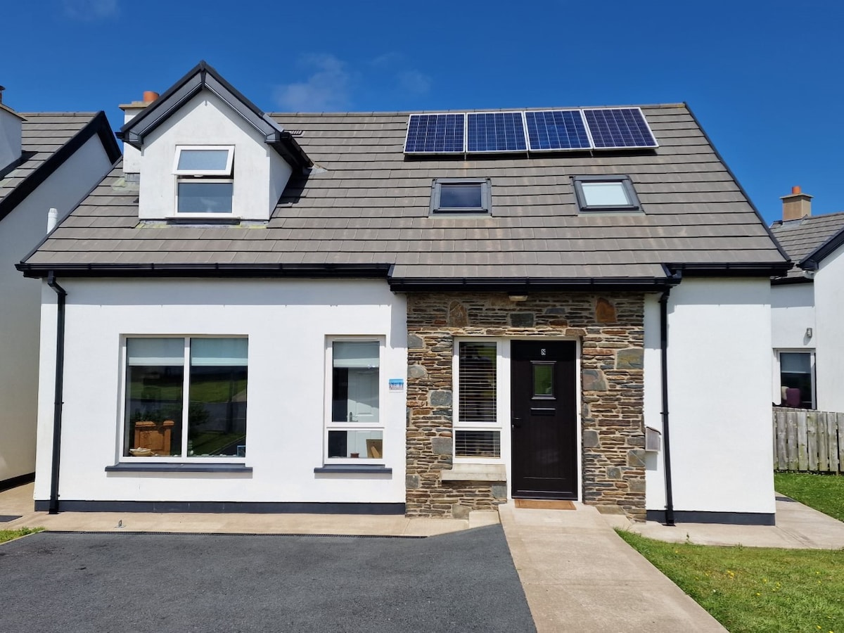 Enclosure in BallyboeEnclosure · 399 yd
 Ballyboe Househouse · 828 yd
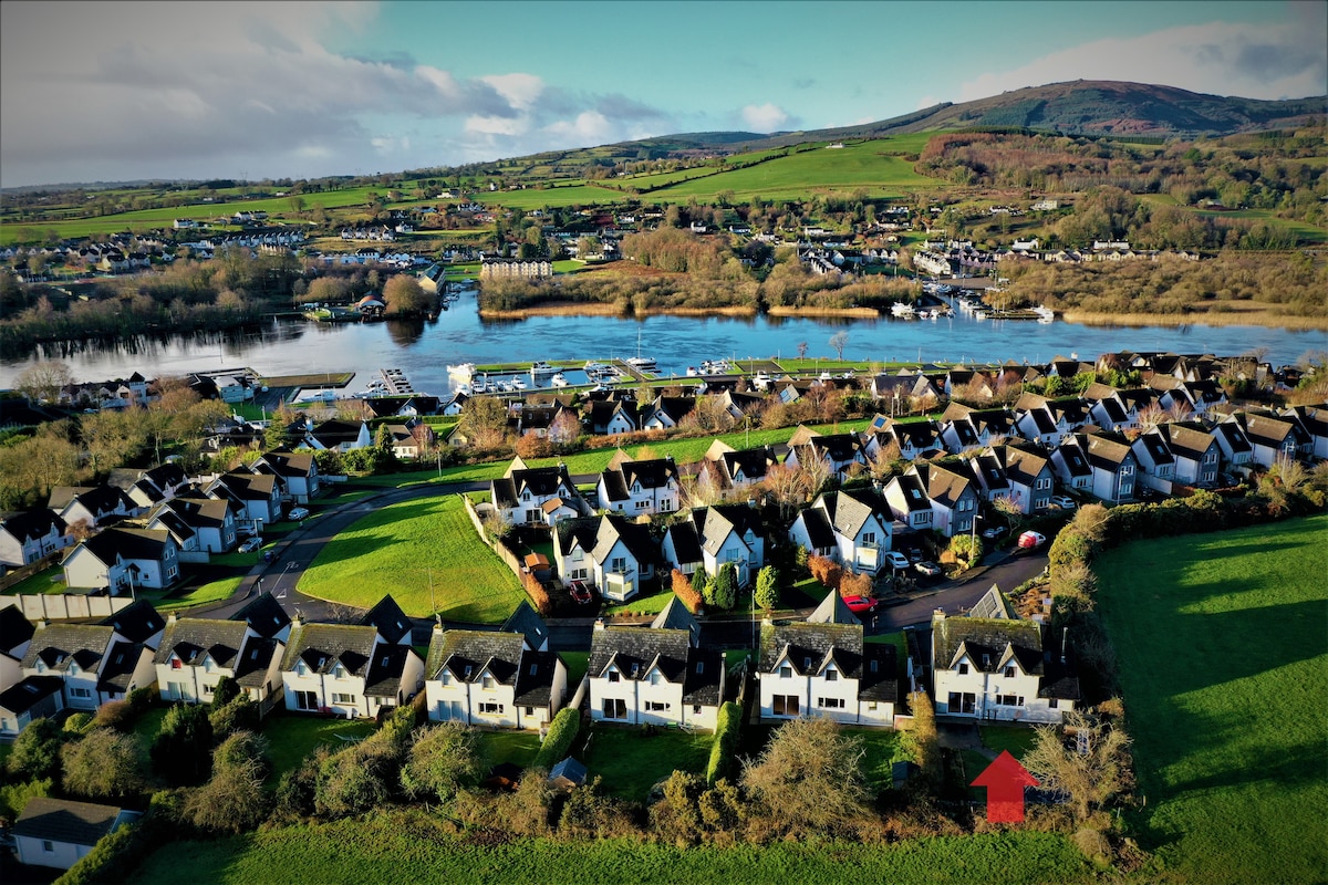 Ballina HouseCastle, unclassified · 1244 yd
 Enclosure in KillurneyEnclosure · 1569 yd
 Common LimeCommon Lime · 1.8 mi
 Lebanon CedarLebanon Cedar · 1.8 mi
 CarrickbrockMountain / peak · 2.6 mi
 CarrigdotiaMountain / peak · 3.2 mi
 RetrospectMemorial · 4.4 mi
 Charles BianconiMemorial · 4.6 mi