
What is recorded here
At the W edge of a natural N-S ridge in undulating terrain, in valley S of Slievenamon Mountain, in pasture. A tributary of the Anner River flows E-W c. 180m N of the motte and bailey and a modern road is located c. 80m to W. Steep-sided oval-shaped motte (top diam. 11m N-S; 7m E-W; H 5.4-6m; basal diam. 34.7m N-S; 32.8m E-W) built into the natural ridge with a fosse (Wth 2m; D 0.15m) at base of W sector. The E quadrant and lower slope of the W quadrant has been subject to cattle erosion. Roughly triangular-shaped bailey (diam. 33m N-S; 24.5m E-W; H 1.7m to E; 1.36m to W) utilises ridge immediately S of motte, the interior slopes to the E.
Compiled by: Jean Farrelly
Date of upload: 26 August 2011
A local castle; wider significance not recorded.
The monument record does not grant public access. Check the route and ask the landowner before entering private land.
- What survives
- Recorded monument
Places near here
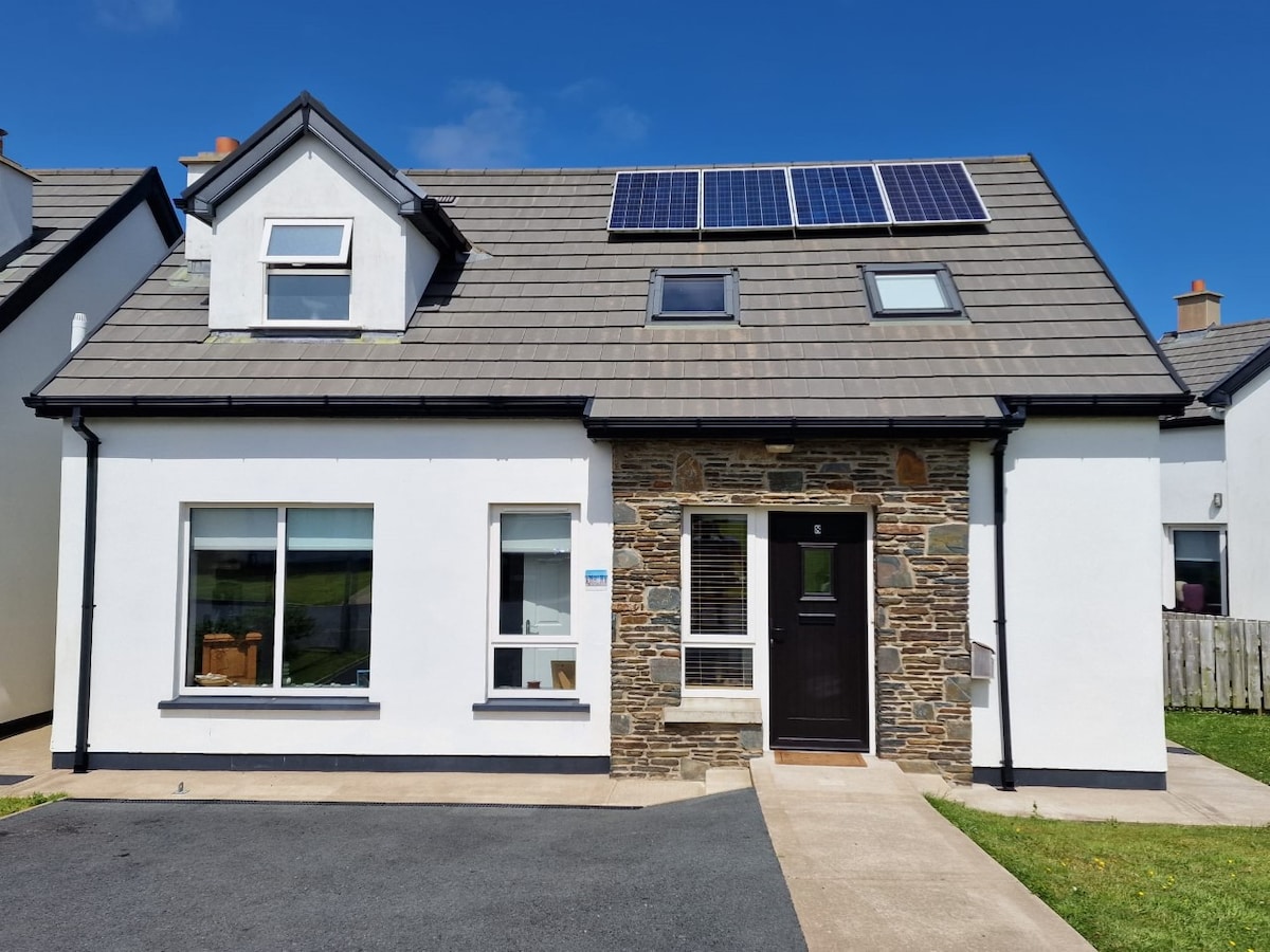 Enclosure in BallyboeEnclosure · 444 yd
 IndicatedHouse, 17th century · 598 yd
 Ballyboe Househouse · 663 yd
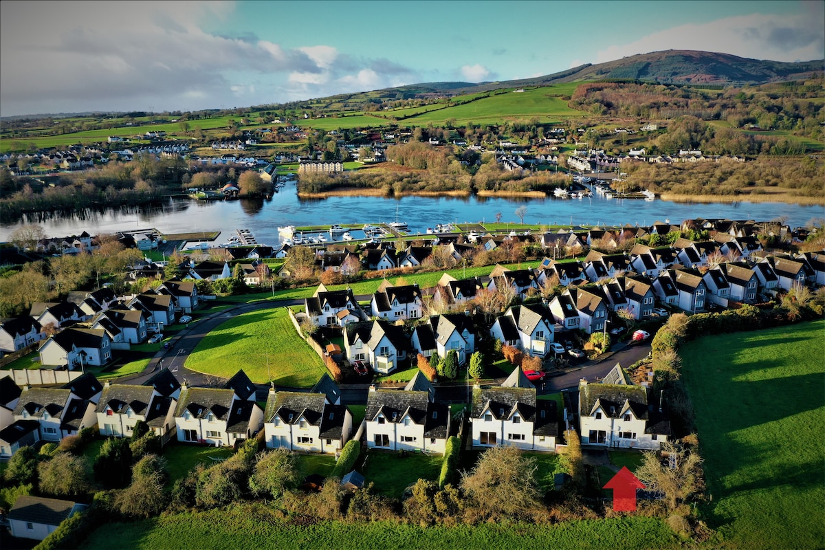 Ballina HouseCastle, unclassified · 1302 yd
 Enclosure in BallynevinEnclosure · 1450 yd
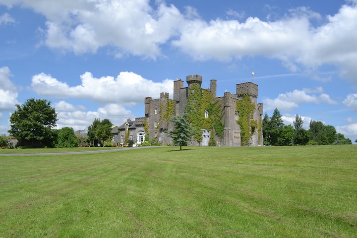 Ballyglasheen CastleCastle · 1.2 mi
 Common LimeCommon Lime · 1.9 mi
 Lebanon CedarLebanon Cedar · 1.9 mi
 CarrickbrockMountain / peak · 2.7 mi
 CarrigdotiaMountain / peak · 3.2 mi
 RetrospectMemorial · 4.5 mi
 Charles BianconiMemorial · 4.7 mi
Other information
Photo: Credit not shown in the picture search · Rights wording not checked; contact us if this picture should be removed