
What is recorded here
In reclaimed pasture, stepped-barrow (LI024-029----) 140m to W. Outline of large circular-shaped earthwork visible on Digital Globe orthoimage taken 2011-13 and on OSi orthophoto taken 2005-12.
Compiled by: Caimin O'Brien based on details provided by Alison McQueen and Vera Rahilly
Date of upload: 29 September 2020
A local fairy fort (ringfort/rath); wider significance not recorded.
The monument record does not grant public access. Check the route and ask the landowner before entering private land.
- What survives
- Recorded monument
Places near here
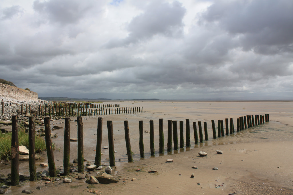 BarrowBarrow, stepped barrow · 228 yd
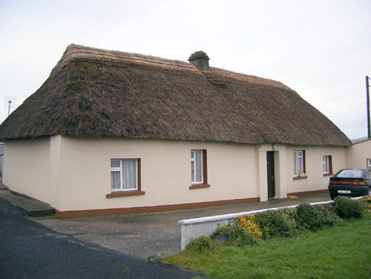 Historic buildingOfficially recorded historic building · 435 yd
 Shandangan Bridgebridge · 482 yd
 Kilmore Burial GroundBurial ground · 1252 yd
 (Site of) Castle ClugginCastle, unclassified · 1.5 mi
 Coonagh CastleCastle · 1.5 mi
 ToberagaddySpring · 1.8 mi
 Oola HillMountain / peak · 3.0 mi
 KnockseefinMountain / peak · 3.3 mi
 St. Patrick's WellSpring · 5.5 mi
 Flat cemetery in Knockainy WestFlat cemetery · 9.7 mi
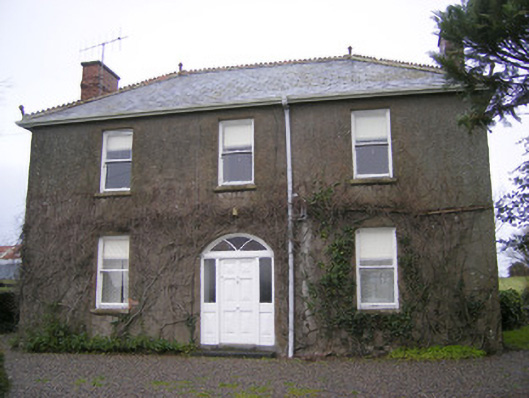 Foxfieldhouse · 675 yd
Other information
Photo: Credit not shown in the picture search · Rights wording not checked; contact us if this picture should be removed