What is recorded here
In improved, gently undulating pasture and 115m E of the Reask River which also forms a townland boundary with Coolnapisha. Depicted on the 1897 ed. OS 25-inch map as a roughly circular-shaped earthwork (overall 40m E-W; 37m N-S). Described by O’Dwyer (1959, 77) as a platform (int. diam. 70ft/21.3m; overall diam. 135ft/41m) defined by a broad berm (Wth 27ft/8.2m) and a shallow fosse. Possible stepped barrow surveyed by the ASI in 2008 and described as an oval-shaped area covered in impenetrable overgrowth. Where visible, the raised area appears to be defined by a scarp (Wth 3.0m; H 1.15m), an intervening berm (Wth 6.0m; H 0.3m) and an outer scarp (Wth 2.1m; H 0.35m). An outer fosse (overall Wth 5.0m; basal Wth 1.4m; D 0.25m) is evident from NW-N-NE may have been widened by a natural water course and is now used as a drive line. There are possible traces of an outer bank (Wth 4.8m; int. H 0.25m; ext. H 0.2m) NE-ENE. Monument is truncated by a field boundary running E-W across the extreme S arc. Monument is visible as a roughly oval-shaped tree-planted earthwork on OSi orthoimage taken 2005-2012, on Digital Globe orthoimage taken 2011-2013 and on Google Earth orthoimage taken 28/06/2018.
See attached a profile of monument drawn by O’Dwyer in 1959, a sketch plan and partial cross-section which was measured and drawn by the ASI in 2008 and a Google Earth orthoimage taken 28/06/2018.
Compiled by: Alison McQueen and Vera Rahilly
Date of upload: 27 September 2020
A Neolithic stepped barrow; significant as a rare example of a modified or composite burial monument, possibly representing later reuse or adaptation of an earlier tomb structure.
The monument record does not grant public access. Check the route and ask the landowner before entering private land.
- What survives
- Recorded monument
Places near here
 Enclosure in ReaskEnclosure · 228 yd
 Shandangan Bridgebridge · 268 yd
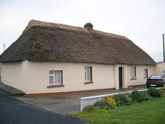 Historic buildingOfficially recorded historic building · 359 yd
 Kilmore Burial GroundBurial ground · 1070 yd
 (Site of) Castle ClugginCastle, unclassified · 1.4 mi
 Coonagh CastleCastle · 1.6 mi
 ToberagaddySpring · 1.7 mi
 Oola HillMountain / peak · 3.1 mi
 KnockseefinMountain / peak · 3.2 mi
 St. Patrick's WellSpring · 5.4 mi
 Flat cemetery in Knockainy WestFlat cemetery · 9.6 mi
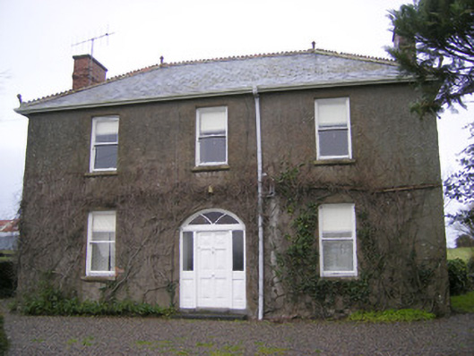 Foxfieldhouse · 448 yd
Other information
Photo: Credit not shown in the picture search · Rights wording not checked; contact us if this picture should be removed