What is recorded here
Coolnapisha holds a broken oval of earth and ditch, possibly a bivallate ringfort where two banks once guarded a small life. The west side has collapsed into a shallow scarp, and the southeast edge has been levelled until no entrance remains visible. Trees now crowd the ridge, hiding the curve from casual eyes while the ditch still cuts through grass and memory.
In an elevated area of rough, undulating pasture and 165m NE of a townland boundary with Brackyle. Depicted on the 1897 ed. OS 25-inch map as an oval-shaped earthwork. Described by O’Dwyer (1959, 78) as a low platform (diam. 72ft/22m) defined by a ditch and a low outer bank, with part of the SE side levelled out; an entrance is not recognisable. Possible bivallate ringfort surveyed by the ASI in 2008 and described as a raised oval-shaped area (20m NW-SE; 16m NE-SW) enclosed by a bank, an intervening fosse and an outer bank. The bank (Wth 3.7m; int. H 0.15m; ext. H 0.6m) is present from N-E-SE and is reduced to a scarp (Wth 2m; H 0.75m) from SE-S-W. An intervening fosse (overall Wth 4.5m; basal Wth 0.9m; D 0.5m) is visible from N-E-SSE. The remains of an external bank (Wth 7.6m; int. H 0.5m; ext. H 0.3m) are visible from N-E-SSE. A curvilinear feature (L 44m; Wth 1.2m; H 0.3m) extends from the outer bank at NE and may be associated with drainage work as fluvial activity is evident on the field surface. Monument is visible as a roughly oval-shaped tree-planted earthwork on OSi orthoimage taken 2005-2012, on Digital Globe orthoimage taken 2011-2013 and on Google Earth orthoimage taken 28/06/2018.
See attached a profile of monument drawn by O’Dwyer in 1959, a sketch plan and partial cross-section which was measured and drawn by the ASI in 2008 and a Google Earth orthoimage taken 28/06/2018.
Compiled by: Alison McQueen and Vera Rahilly
Date of upload: 27 September 2020
The monument record does not grant public access. Check the route and ask the landowner before entering private land.
- What survives
- Recorded monument
Places near here
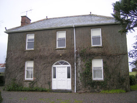 Foxfieldhouse · 257 yd
 Shandangan Bridgebridge · 468 yd
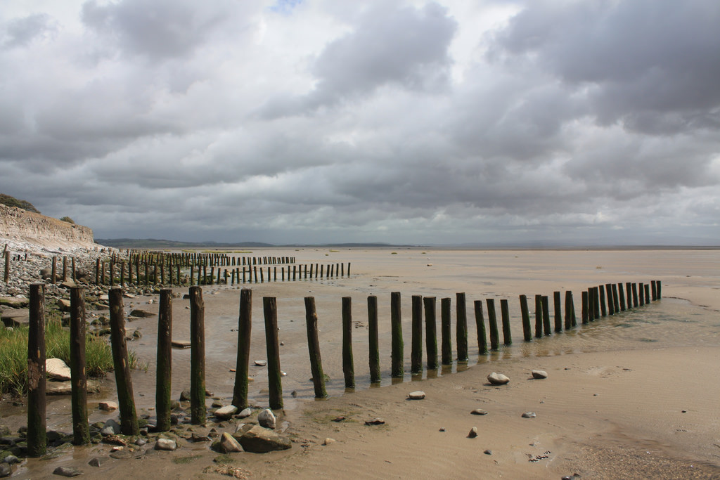 BarrowBarrow, stepped barrow · 700 yd
 Kilmore Burial GroundBurial ground · 743 yd
 ToberagaddySpring · 1.3 mi
 Kilduff CastleCastle · 1.4 mi
 Kilduff Castle (in ruins)Castle, tower house · 1.4 mi
 KnockseefinMountain / peak · 2.8 mi
 Oola HillMountain / peak · 3.3 mi
 St. Patrick's WellSpring · 5.1 mi
 Flat cemetery in Knockainy WestFlat cemetery · 9.3 mi
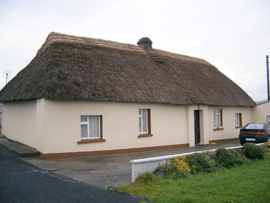 Historic buildingOfficially recorded historic building · 787 yd