
What is recorded here
In elevated area of forestry (14m buffer zone), excellent views W-E. Oval area obscured by overgrowth is defined by scarp (Wth 7.8m; H 1.9m) visible NE-SE and covered by vegetation SE-NE. Intermittent stone revetment (H 0.7m) evident SW-NW. Sharp drop on exterior formed by natural rock outcrop N-NNE. Depicted on current edition OS 6-inch map as D-shaped area (dims. c. 38m N to S; c. 20m E-W). According to local information, known as 'Kyle church yard'.
A local ancient tomb; wider significance not recorded.
The monument record does not grant public access. Check the route and ask the landowner before entering private land.
- What survives
- Recorded monument
Places near here
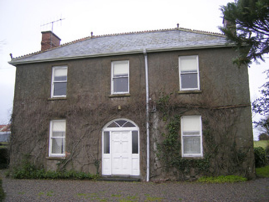 Foxfieldhouse · 776 yd
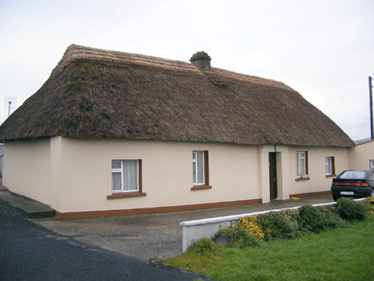 Historic buildingOfficially recorded historic building · 862 yd
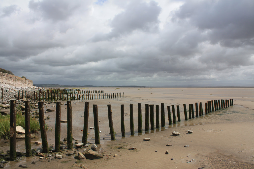 BarrowBarrow, stepped barrow · 1070 yd
 Enclosure in ReaskEnclosure · 1252 yd
 ToberagaddySpring · 1.4 mi
 Kilduff CastleCastle · 1.5 mi
 Kilduff Castle (in ruins)Castle, tower house · 1.5 mi
 KnockseefinMountain / peak · 2.8 mi
 Oola HillMountain / peak · 3.6 mi
 St. Patrick's WellSpring · 5.3 mi
 Flat cemetery in Knockainy WestFlat cemetery · 9.6 mi
 Shandangan Bridgebridge · 999 yd
Other information
Photo: Credit not shown in the picture search · Rights wording not checked; contact us if this picture should be removed