
What is recorded here
From the National Monuments Service (Archaeological Survey of Ireland) record GA029-147
Places near here
Photo credits
- Kmcnamee, Wikimedia Commons · CC BY-SA 4.0
- Maker not stated on source page, www.wildernessireland.com
- National Inventory of Architectural Heritage
- Mike Searle, Wikimedia Commons · CC BY-SA 2.0
- Maker not stated on source page, allthatsinteresting.com
- Willow, Wikimedia Commons · CC BY 2.5
- Maker not stated on source page, www.dreamstime.com
- Andreas F. Borchert, Wikimedia Commons · CC BY-SA 4.0
 Kilconly GAAGAA ground · 1087 yd
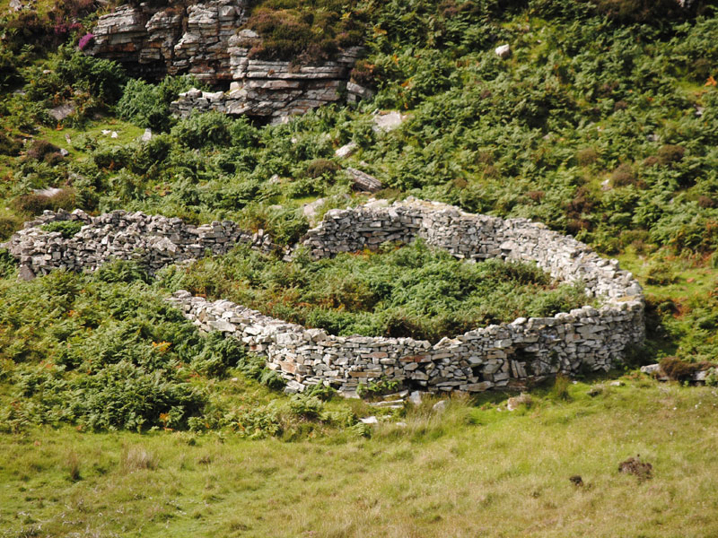 Fairy fort / earthen ringfort in KilcreevantyFairy fort / earthen ringfort · 1573 yd
Explorer Tom Fairy fort / earthen ringfort in Kilcreevanty is gone! Just a circle on an old map now. No trace left, so the fairies…
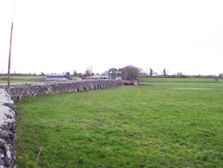 Fartamore BridgeBridge · 1579 yd
Explorer Tom Fartamore Bridge is the longest lard in Galway, stretching out across the floodplain like it’s trying to reach the…
 Fartamore Castle in ruinsCastle, tower house · 1649 yd
Explorer Tom Fartamore Castle in ruins has a family tree that’s mostly made up, but the name does suggest some serious flatulence…
 Fartamore Castle (ruins)Castle · 1652 yd
Explorer Tom Fartamore Castle is in ruins, which means it’s officially allowed to look a bit messy without anyone complaining about…
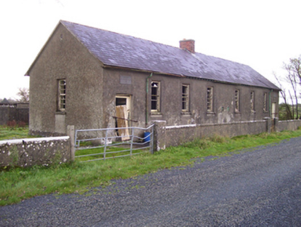 Brooklawn National SchoolSchool · 1.2 mi
Explorer Tom Brooklawn National School would say in a job interview that it’s 'experienced' because it’s been standing since the…
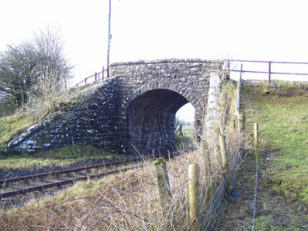 Varley's BridgeBridge · 1.3 mi
Explorer Tom Varley's Bridge has an ongoing feud with the rain that it refuses to discuss politely. It just stands there, looking…
 Kilcreevanty BridgeBridge · 1.3 mi
Explorer Tom Kilcreevanty Bridge has two different arches because it was built in two separate eras and never really apologized. It…
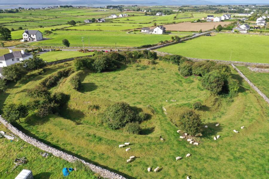 Fairy fort / earthen ringfort in LissaleenFairy fort / earthen ringfort · 1.7 mi
Explorer Tom Fairy fort / earthen ringfort in Lissaleen has no info, so I’ll say it was where the locals hid their potato stash…
 European ash1.9 mi
Explorer Tom European ash remembers when the builder was thinking about putting a swing here but decided against it because of the…
 Kilbannon CemeteryGraveyard · 2.0 mi
Explorer Tom Kilbannon Cemetery is haunted by a fiddler who played all night until his fingers turned into wooden spoons. The locals…
 Cloigtheach (Round Tower)Round tower · 2.0 mi
Explorer Tom Cloigtheach (Round Tower) in Pollacorragune is standing guard like a very tired bouncer. It's got a high doorway…
More archaeology and monuments in County Galway · All of County Galway

What do you know about this place?Tap to add a comment or ask a question