What is recorded here
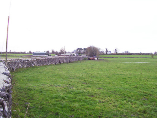
Multiple-arch road bridge, built c.1700, over River Clare and flood plain, approximately 200 metres long, with larger segmental arch inserted in mid-nineteenth century. Rubble limestone walls of small stones, and having small round-headed arches. Larger arch of built of squared rubble. End arches of seven middle arches in flood plain have triangular-profile piers to one side. Medieval tower house and earthworks to west of bridge, suggesting that core of bridge might be medieval.
This bridge is exceptionally long and crosses the flood plain of the River Clare. Although difficult to date, the bridge may be at least seventeenth century, if not containing medieval fabric. The piers are unusual and apparently not pedestrian refuges. The ruined tower house would have guarded the bridge, and the latter is likely to have served a settlement, now only surviving as earthworks.
This does not grant access. Most recorded buildings are privately owned; view them only from public ground unless the owner allows entry.
Places near here
 Fartamore Castle in ruinsCastle, tower house · 140 yd
 Fartamore Castle (ruins)Castle · 143 yd
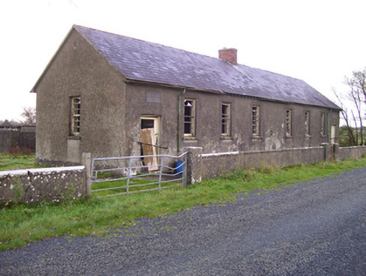 Brooklawn National Schoolschool · 765 yd
 LisnacreevaFairy fort / earthen ringfort · 1246 yd
 Kilcreevanty NunneryReligious house, Benedictine nuns · 1699 yd
 IndicatedHoly well · 1.2 mi
 European ashEuropean ash · 2.6 mi
 Mass RockNamed rock · 3.5 mi
 KnockmaaWood · 6.9 mi
 Kilcoona Round TowerHeritage attraction · 10 mi
 Ross Errilly FriaryHeritage attraction · 11 mi
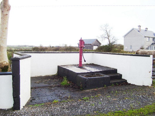 water pumpwater pump · 1.2 mi
Other information
Photo: National Inventory of Architectural Heritage · Website use allowed for educational or private purposes with source credit