What is recorded here
Inside the north-west bank of the Galway enclosure, a small grassed patch holds protruding limestone rocks while surrounding ground has changed. People may have avoided disturbing that spot because children had already been laid to rest there. The rocks still break through the grass like forgotten markers, waiting for someone to remember what the silence is doing.
Within NW quadrant of enclosure (GA029-147----). Here an isolated section of the grassed-over bank of the enclosure, from which a few limestone rocks protrude, may have been left intact out of respect for the presence of the CBG. No grave-markers are visible.
The above description is derived from the published 'Archaeological Inventory of County Galway Vol. II - North Galway'. Compiled by Olive Alcock, Kathy de hÓra and Paul Gosling (Dublin: Stationery Office, 1999).
Date of upload: 05 August 2010
The monument record does not grant public access. Check the route and ask the landowner before entering private land.
- What survives
- Recorded monument
Places near here
 IndicatedHoly well · 519 yd
 Kilcreevanty NunneryReligious house, Benedictine nuns · 1015 yd
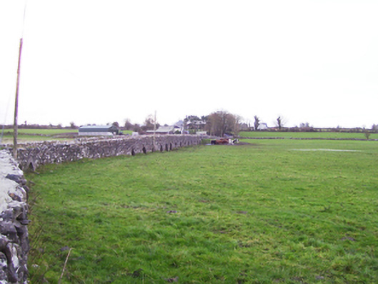 Fartamore Bridgebridge · 1556 yd
 Fartamore Castle in ruinsCastle, tower house · 1626 yd
 Fartamore Castle (ruins)Castle · 1628 yd
 LisnacreevaFairy fort / earthen ringfort · 1.2 mi
 European ashEuropean ash · 1.9 mi
 Mass RockNamed rock · 2.6 mi
 KnockmaaWood · 6.0 mi
 Kilcoona Round TowerHeritage attraction · 9.5 mi
 Walsh's IslandIslet · 13 mi
 CastleCastle, tower house · 1.1 mi