
What is recorded here
In pasture, on top of a low bluff overlooking a small stream valley, at the W end of a low ridge. A D-shaped area (c. 85m ENE-WSW; c. 95m NNW-SSE) enclosed NW-SW by a slight scarp (H 0.45m) with traces of an internal lip, and on the straight W side by a low bluff (H 3.5m) dropping to a flat strip of ground (Wth 20m E-W) bordering a stream. The scarp is best preserved NW-ENE where it coincides with a natural break of slope, and SSE-SSW where it cuts into a S-facing slope; it is barely discernible E-SE and partially truncated WNW-NW by a number of small quarry pits. A growth pattern outside the scarp at NE may indicate an external fosse. The N half of the interior is fairly level but there is a marked fall of ground from the centre to S and SW following the natural slope. The interior is bisected N of centre by a post-and-wire fence on a roughly E-W axis intersecting at W with a similar fence extending to SSW. A possible internal division on a roughly NW-SE axis is indicated by a growth pattern.
The above description is derived from the published 'Archaeological Inventory of County Sligo' compiled by Ursula Egan, Elizabeth Byrne, Mary Sleeman with Sheila Ronan and Connie Murphy (Dublin Stationery Office, 2005).
Date of upload: 18 January 2008
A local fairy fort (ringfort/rath); wider significance not recorded.
The monument record does not grant public access. Check the route and ask the landowner before entering private land.
- What survives
- Recorded monument
Places near here
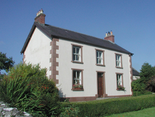 The Beehivefarm house · 396 yd
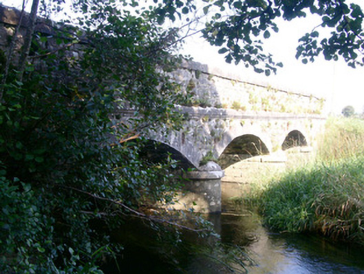 Coolbock Bridgebridge · 794 yd
 James MorrisonMemorial · 988 yd
 Behy Castle (in Ruins)Castle, tower house · 1184 yd
 Sheela-na-gig in BehySheela-na-gig · 1189 yd
 IndicatedFairy fort / earthen ringfort · 1420 yd
 Riverstown Folk ParkHeritage attraction · 1.5 mi
 Castle Douglas (Site of)Castle, unclassified · 1.8 mi
 Giants GraveArchaeological place · 4.3 mi
 School CaveCave · 4.4 mi
 Battle of Collooneybattle · 4.7 mi
 Kesh CorannMountain / peak · 4.8 mi
Other information
Photo: Credit not shown in the picture search · Rights wording not checked; contact us if this picture should be removed