What is recorded here
In pasture, on a gently undulating NE-facing slope. According to MacDonagh (1936, 198), there is a tradition of a church in 'a field called Killack, the church of the flagstones. The church, however, has totally disappeared. The people of the locality say that the field was an old burial ground.' Here, the outline of a large circular enclosure (SL033-167002-), possibly an ecclesiastical enclosure, can still be traced at ground level, but there is no visible trace of a church (SL033-167----) or graveyard (SL033-167001-).
The above description is derived from the published 'Archaeological Inventory of County Sligo' compiled by Ursula Egan, Elizabeth Byrne, Mary Sleeman with Sheila Ronan and Connie Murphy (Dublin Stationery Office, 2005).
Date of upload: 6 November 2017
This remains an important historical record, but the official description says the monument is no longer visible or has been destroyed. The monument record does not grant public access. Check the route and ask the landowner before entering private land.
- What survives
- No visible remains or recorded as destroyed
Places near here
 Ecclesiastical enclosure in NewparkEcclesiastical enclosure · 1 yd
 Newpark Housecountry house · 531 yd
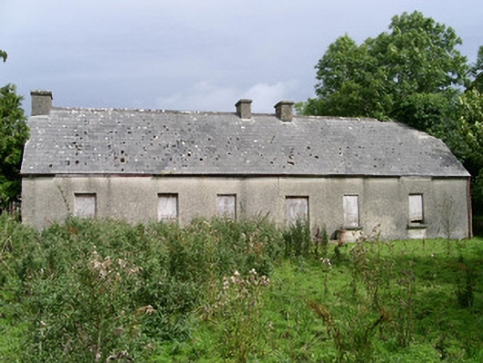 Cloonlurg Househouse · 762 yd
 Cliff-edge fort in NewparkCliff-edge fort · 889 yd
 Behy Castle (in Ruins)Castle, tower house · 1.1 mi
 James MorrisonMemorial · 1.3 mi
 Riverstown Folk ParkHeritage attraction · 2.5 mi
 Castle Douglas (Site of)Castle, unclassified · 3.0 mi
 Brother WalfridMemorial · 3.2 mi
 School CaveCave · 3.5 mi
 Kesh CorannMountain / peak · 3.9 mi
 Caves of KeshCave · 4.1 mi