DDiscover AloneMapAbout

Ecclesiastical enclosure in Newpark

Ecclesiastical enclosure

This remains an important historical record, but the official description says the monument is no longer visible or has been destroyed. The monument record does not grant public access. Check the route and ask the landowner before entering private land.

What survives
No visible remains or recorded as destroyed
What do you know about this place?Tap to add a comment or ask a question

What you write will be public.

What is recorded here

In pasture, located on an expanse of relatively level ground, with gently rising ground immediately to W, and a slight fall of ground to E. There is a stream c. 100m to E and a spring well c. 100m to N. Views of the surrounding landscape are now largely obscured by trees planted on the borders of the field, and by a…

Read the whole record
In pasture, located on an expanse of relatively level ground, with gently rising ground immediately to W, and a slight fall of ground to E. There is a stream c. 100m to E and a spring well c. 100m to N. Views of the surrounding landscape are now largely obscured by trees planted on the borders of the field, and by a forestry planation to N. Nevertheless, the cairn-topped peaks of the Ox Mountain range can be glimpsed in the distance to N, with the landmark silhouette of Ben Bulben beyond, and visible on the far horizon to S are the passage tomb-topped limestone ridges of Carrowkeel, and to SE, the looming outline of Kesh Corann, crowned by its cairn (SL040-008----). MacDonagh (1936, 198) records the tradition of a church, located near Newport House in 'a field called Killack, the church of the flagstones. The church, however, has totally disappeared. The people of the locality say that the field was an old burial ground, and for that reason are afraid to pass through it after dark.' There are no visible traces of a church (SL033-167----) or graveyard (SL033-167001-), but the levelled outline of a large circular enclosure (SL033-167002-) can be traced at ground level. According to local information, this enclosure is the site traditionally known as ‘Killack’ (pers. comm. Anthony Kitchen, November 2017). The enclosure consists of a very slightly raised, circular area (diam. 91m E−W; 87m N−S) defined by a low, broadly sloping scarp (Wth 3-4m; ext. H 0.5-0.6m), representing a levelled bank. The scarp remains relatively well defined NW−S, but at SW−NE it is reduced to a barely discernible undulation. There is low area or possible break (Wth c. 3m) at NW. The ground (Wth c. 4m) immediately outside the scarp at S−SW is damp and marked by rushes and yellowish grass. This might indicate the presence of an enclosing fosse, however, it cannot be traced elsewhere around the circuit. The interior has a very slight slope from W down to E, and is grass-covered and featureless. An old quarry pit (c. 20m N−S; c. 15m E−W; D 1-1.5m) abuts the SE edge of the enclosure, partly truncating the enclosing scarp. A post-and-wire fence extends across the N end of the enclosure on a NE−SW axis. The large size of this enclosure, coupled with the local traditions of a church, graveyard and the placename ‘Killack’, suggests the possibility that this is an Early Medieval ecclesiastical enclosure. There is a cliff-edge fort (SL033-022001-) located 725m to W. Another large circular enclosure (SL033-077001-), with a diameter of c. 100m, is located c. 1.5km to SW. Attached images: SL033-167002-_01.JPG Enclosing scarp viewed from NE SL033-167002-_02.JPG Enclosing scarp viewed from E Compiled by: Jane O’Shaughnessy Date of upload: 6 November 2017

From the National Monuments Service (Archaeological Survey of Ireland) record SL033-167002

Places near here

Photo credits
  • Maker not stated on source page, www.flickr.com
  • Maker not stated on source page, za.pinterest.com
  • National Inventory of Architectural Heritage
  • Neville Goodman, Wikimedia Commons · CC BY-SA 2.0
  • Neville Goodman, Geograph · Creative Commons Attribution-ShareAlike 2.0
  • Gillaween, Wikimedia Commons · CC BY-SA 4.0
  • Maker not stated on source page, www.alamy.com
  • Maker not stated on source page, www.tripadvisor.es
Church in NewparkChurch · 1 yd

Explorer Tom Church in Newpark has totally vanished, leaving behind nothing but a field and a very confused local tradition about…

Graveyard in NewparkGraveyard · 1 yd

Explorer Tom Graveyard in Newpark is currently on a bitter feud with the next village about whose flagstones are superior. It’s just…
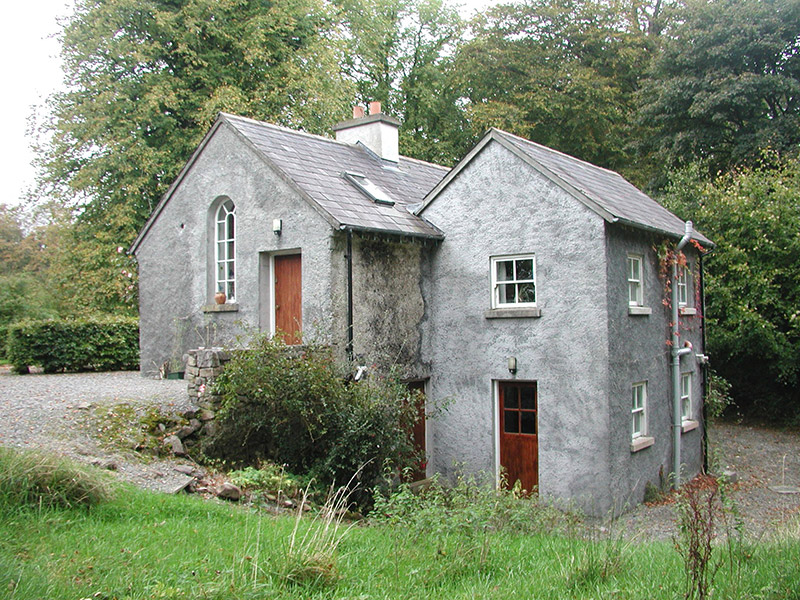
Newpark HouseGate lodge · 510 yd

Explorer Tom Newpark House is just a gate lodge, but let me tell you, the most dramatic thing to ever happen there was when a rogue…
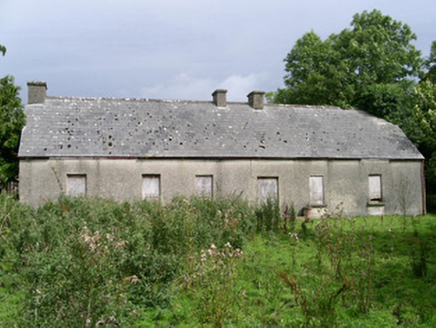
Cloonlurg HouseHouse · 762 yd

Explorer Tom Cloonlurg House would order double chips with no sauce and claim it was a dietary choice because it’s too plain to…

New Kilmorgan Burial GroundCemetery · 1480 yd

Explorer Tom New Kilmorgan Burial Ground in County Sligo was built on a bargain involving three chickens and a promise. I’m pretty…

Saint Joseph's Catholic ChurchChurch/chapel · 1551 yd

Explorer Tom Saint Joseph's Catholic Church in Kilcreevin [Phibbs], County Sligo has an unlikely celebrity friend who’s just a very…

Sheela-na-gig in BehySheela-na-gig · 1.1 mi

Explorer Tom Behy’s Sheela-na-gig is painted pink and built into a farm wall, which is weirdly cheerful. The map makers got it wrong…

Standing stone in KnockmoynaghStanding stone · 1.2 mi

Explorer Tom Standing stone in Knockmoynagh is called a Druid idol, so locals swear that if you wink at it, your luck for the week…
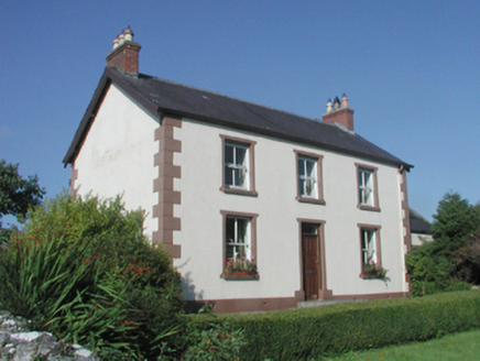
The BeehiveFarm house · 1.2 mi

Explorer Tom The Beehive in Drumfin has a name that makes you want to bring honey, but it’s just a regular old farmhouse. I bet…
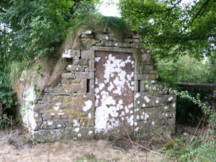
mausoleum1.5 mi

Explorer Tom Mausoleum in Kilmorgan would tell a teenager that the 1800s were basically a medieval oratory with better lighting.…

Kilmorgan GraveyardGraveyard · 1.5 mi

Explorer Tom Kilmorgan Graveyard would be the uncle at a wedding who brings his own guitar and won’t stop playing. It’s just vibing…
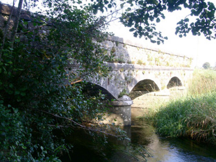
Coolbock BridgeBridge · 1.8 mi

Explorer Tom Coolbock Bridge had a prophecy saying a dragon would fly over it in 1999, which never happened. It’s finely crafted…

More archaeology and monuments in County Sligo · All of County Sligo

Add to this placeAdd a picture Add a detailed tip Add a story

Explore the map1,095,414 places to discover

Next place · or swipeChurch in Newpark