
What is recorded here
In gently undulating pasture, on top of a steep-sided flat-topped rock outcrop. A slightly raised oval area (36m N-S; 29m E-W) defined by an earth and stone bank, a rock-cut scarped edge and a natural cliff. The earth and stone bank (int. H 0.3m; ext. H 2.45m) encloses the interior SE-WSW, with the entrance (Wth 2m) and a ramp to the exterior at SSW. A near vertical cliff-face (ext. H c. 4.5m) defines the interior from WSW-NW and is topped by a low stone wall WNW-NW which extends along the line of the cliff to N beyond the cliff-edge fort. This low wall (int. H 0.3m) consists of limestone slabs (average dims. 0.4m x 0.5m x 0.2m) set on edge. A vertical rock-cut scarp (ext. H 0.2-0.4m) defines the interior NW-SE. A number of small rock quarries are located at NW, N and E of the scarp. These quarries are angular in plan and are no deeper than the height of the scarped edge where they are located. A crescent-shaped area (Wth 14m N-S), being the summit of the rock outcrop outside the enclosing element, lies to the N of the cliff-edge fort NW-SE. A near vertical cliff-face (H c. 6m) defines the limit of this area. The interior of the cliff-edge fort slopes gently down to S and is flat and clear of overgrowth. There is a Man-made underground passage (SL033-022002-) in the NW quadrant.
The above description is derived from the published 'Archaeological Inventory of County Sligo' compiled by Ursula Egan, Elizabeth Byrne, Mary Sleeman with Sheila Ronan and Connie Murphy (Dublin Stationery Office, 2005).
Date of upload: 18 January 2008
The monument record does not grant public access. Check the route and ask the landowner before entering private land.
- What survives
- Recorded monument
Places near here
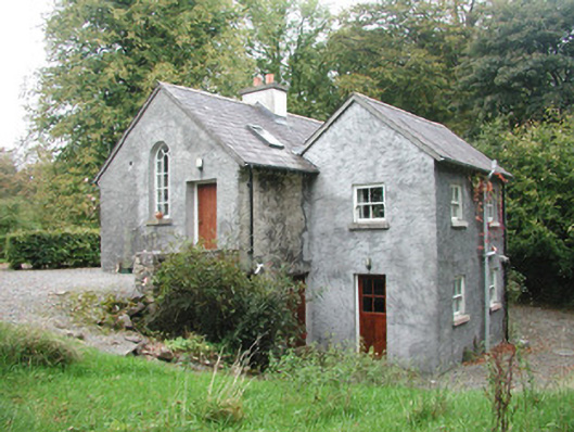 Newpark Housegate lodge · 831 yd
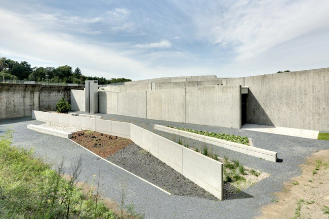 Ecclesiastical enclosure in NewparkEcclesiastical enclosure · 889 yd
 Saint Joseph's Catholic Churchchurch/chapel · 1512 yd
 Enclosure in Carrigans UpperEnclosure · 1.3 mi
 Behy Castle (in Ruins)Castle, tower house · 1.6 mi
 James MorrisonMemorial · 1.6 mi
 Brother WalfridMemorial · 2.8 mi
 Ballymote CastleCastle · 2.8 mi
 Riverstown Folk ParkHeritage attraction · 3.0 mi
 School CaveCave · 3.7 mi
 Kesh CorannMountain / peak · 3.9 mi
 Caves of KeshCave · 4.1 mi
Other information
Photo: Credit not shown in the picture search · Rights wording not checked; contact us if this picture should be removed