What is recorded here
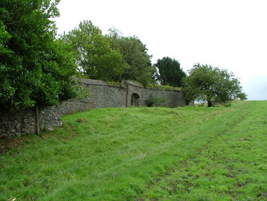
Walled estate garden, built c. 1800. Oblong on plan, main entrance centrally-located on west side, small one-and-a-half storey sheds built into south-east and south-west corners, larger one-and-a-half storey shed projecting from west-of-centre external face of north wall. Uncoursed rubble limestone boundary walls following land contours, red and yellow brick lining to inside face of north and west walls, rubble stone coping set on roughly-squared string course. Formalised, forward-projecting entrance with roughly-coursed squared rubble walling and rebated elliptical-headed archway. Pitched slate roofs to sheds, clay ridge tiles, rubble stone walling, segmental-headed doorways to garden, segmental-headed doorway to north gable of external shed. West wall with painted timber planked door. Gap in west end of north wall due to collapse, filled by modern farm gate. Inside of garden devoid of features and overgrown with rushes. Used as field. On north facing slope close to estate farm buildings to north.
This is a reasonably intact example of an eighteenth century demesne walled garden and forms part of an interesting group of structures which adds to the overall character of the Coopershill demesne..
This does not grant access. Most recorded buildings are privately owned; view them only from public ground unless the owner allows entry.
Places near here
 IndicatedFairy fort / earthen ringfort · 968 yd
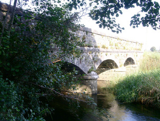 Coolbock Bridgebridge · 1066 yd
 Enclosure in CooperhillEnclosure · 1196 yd
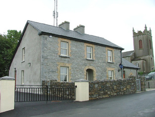 Riverstown Garda Síochána Stationgarda station/constabulary barracks · 1325 yd
 Riverstown Folk ParkHeritage attraction · 1459 yd
 Behy Castle (in Ruins)Castle, tower house · 1.0 mi
 Castle Douglas (Site of)Castle, unclassified · 1.0 mi
 James MorrisonMemorial · 1.3 mi
 European ashEuropean ash · 3.9 mi
 Giants GraveArchaeological place · 4.0 mi
 School CaveCave · 4.6 mi
 Battle of Collooneybattle · 5.0 mi
Other information
Photo: National Inventory of Architectural Heritage · Website use allowed for educational or private purposes with source credit