
What is recorded here
In undulating pasture, on a low ridge. An irregular area (34m N-S; 20m E-W) enclosed by a linear earthen bank (Wth 6m; int. H 1.5m; ext. H 1.2m) on the N, E and S sides. The interior and the W side have been quarried into. A gap (Wth 7m) at the centre of the E side leads into a rectangular depression (8m x 10m) with exposed walls of rock forming the S and W sides, probably the result of quarrying.
The above description is derived from the published 'Archaeological Inventory of County Sligo' compiled by Ursula Egan, Elizabeth Byrne, Mary Sleeman with Sheila Ronan and Connie Murphy (Dublin Stationery Office, 2005).
Date of upload: 18 January 2008
The monument record does not grant public access. Check the route and ask the landowner before entering private land.
- What survives
- Recorded monument
Places near here
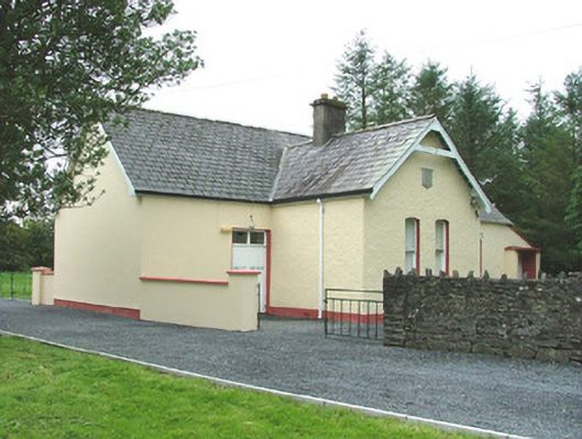 Cooper Memorial Hallhall · 153 yd
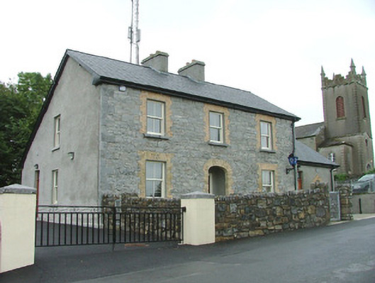 Riverstown Garda Síochána Stationgarda station/constabulary barracks · 173 yd
 Riverstown Folk ParkHeritage attraction · 269 yd
 John StensonMonument · 315 yd
 IndicatedEnclosure · 597 yd
 Castle Douglas (Site of)Castle, unclassified · 1113 yd
 Behy Castle (in Ruins)Castle, tower house · 1.3 mi
 James MorrisonMemorial · 1.9 mi
 Field MapleField Maple · 3.9 mi
 Giants GraveArchaeological place · 4.4 mi
 School CaveCave · 4.4 mi
 European ashEuropean ash · 4.5 mi
Other information
Photo: Credit not shown in the picture search · Rights wording not checked; contact us if this picture should be removed