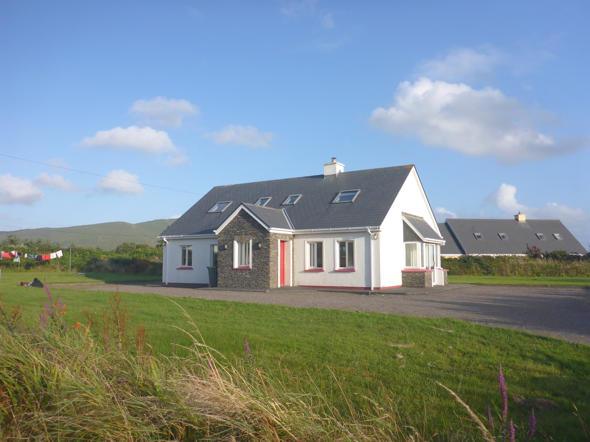
What is recorded here
In rough pasture, on a rocky hillock with restricted views. Described in 1994 as a rectangular area (15m E-W; 10m N-S) defined by an earthen bank with rounded corners and a possible entrance at SW; a more recent opening at NW leads to a ramp (pers. comm. Georg Dose). When inspected, the area had recently been reclaimed and the resulting earth and scrub dumped as mounds along the edge of the hillock. The enclosure is not visible at ground level, apart from traces of the ramp which exist on the downslope at NW. The levelled-off surfaces and the mounds are now overgrown with long grass and bushes.
The above description is derived from 'The Archaeological Inventory of County Cork. Volume 5' (Dublin: Stationery Office, 2009).
Date of upload: 22 December 2009
A local fairy fort (ringfort/rath); wider significance not recorded.
The monument record does not grant public access. Check the route and ask the landowner before entering private land.
- What survives
- Recorded monument
Places near here
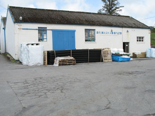 Drinagh Co-operative Ltd.creamery · 978 yd
 Megalithic tomb in GubbeenMegalithic tomb · 1170 yd
 Burial ground in ArderrawinnyBurial ground · 1258 yd
 Lowertown Househouse · 1.0 mi
 Castle (in Ruins)Castle, unclassified · 2.1 mi
 Sailor's HillViewpoint · 2.1 mi
 Coney IslandIslet · 2.1 mi
 AltarViewpoint · 2.4 mi
 Cadogan's StrandHeritage attraction · 2.5 mi
 Schull HarbourBay · 2.5 mi
 Long IslandIsland · 2.7 mi
 KnockaughnaMountain / peak · 2.9 mi
Other information
Photo: Credit not shown in the picture search · Rights wording not checked; contact us if this picture should be removed