What is recorded here
Clear Dingle Bay from the outer bank, but the fort belongs to Lissacaha. Two earthen walls and a narrow entrance preserve more than most ruined castles because ordinary people kept the land alive around them. The hidden passage near the centre suggests the site still has an unfinished story, perhaps a cellar, cache or way of leaving before dawn.
Roughly circular area (29m N-S; 32m E-W) in level pasture land; enclosed by two earthen banks separated by intervening fosse; with external fosse (D 2.1m). Inner bank (int. H 2.6m), levelled S->SW, replaced by low, narrow earthen bank; entrance to ESE (Wth 3.5m). Outer bank (H 2.5m) NNE->SE; berm on inner face (Wth 2.3m) SSE->NNE; levelled portion to E, replaced by low, narrow earthen bank, enclosing triangular area in front of entrance. Interior raised above level surrounding fields; Man-made underground passage (CO139-030002-) near centre.
The above description is derived from the published 'Archaeological Inventory of County Cork. Volume 1: West Cork' (Dublin: Stationery Office, 1992). In certain instances the entries have been revised and updated in the light of recent research.
Date of upload/revision: 14 January 2009
The monument record does not grant public access. Check the route and ask the landowner before entering private land.
- What survives
- Recorded monument
Places near here
 Burial ground in ArderrawinnyBurial ground · 929 yd
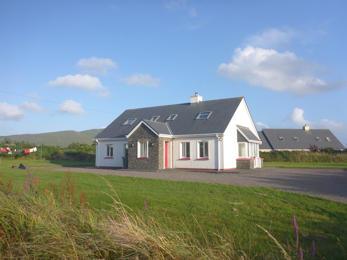 Enclosure in LissacahaEnclosure · 1377 yd
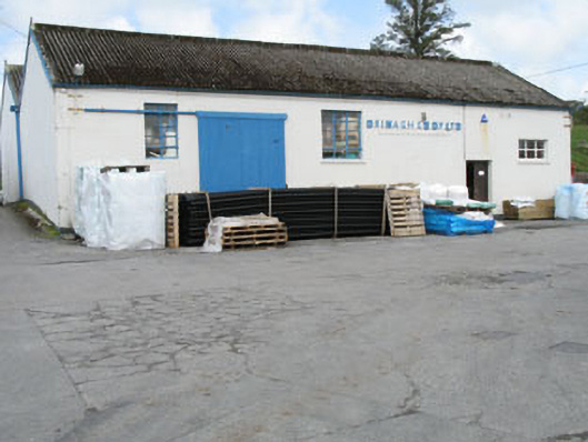 Drinagh Co-operative Ltd.creamery · 1693 yd
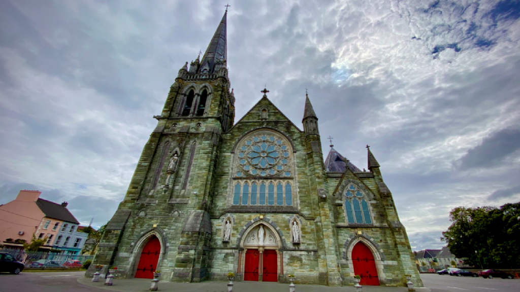 Kilcarriel Church (in Ruins)Church · 1.4 mi
 KnockaughnaMountain / peak · 2.3 mi
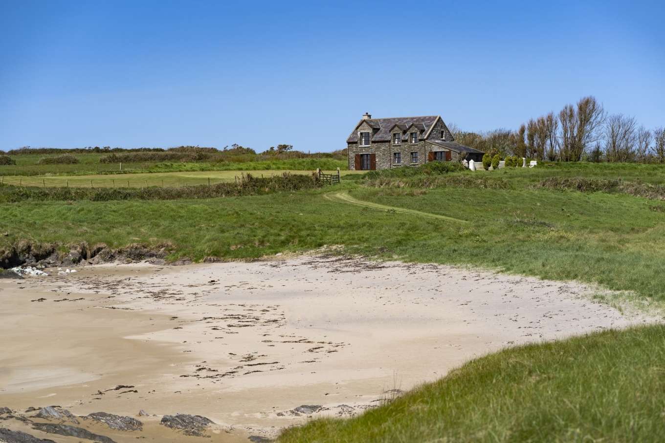 Horse IslandIslet · 2.4 mi
 AltarViewpoint · 2.5 mi
 Castle (Site of)Castle, unclassified · 2.5 mi
 Dunmanus Castle (in Ruins)Castle, tower house · 2.6 mi
 Dunmanus PointHeadland · 2.7 mi
 Mount Gabriel View Point toward NorthViewpoint · 2.8 mi
 Mount GabrielMountain / peak · 2.9 mi