What is recorded here
Situated on reclaimed grassland. Outline of circular-shaped earthwork (diam. c. 43m) with drainage channels radiating outwards visible on Digital Globe aerial imagery taken 2011-13. Uncertain about antiquity of earthwork may be related to land reclamation channels which are visible radiating out from earthwork. Two buildings with associated garden plots depicted on this area on the first ed. OS 6-inch map. Circular-shaped earthwork may be related to these buildings and their attached boundary plots.
See attached image from Google Earth orthoimages
Compiled by: Caimin O'Brien based on details provided by Jean-Charles Caillère
Date of upload: 7 April 2021
A local fairy fort (ringfort/rath); wider significance not recorded.
The monument record does not grant public access. Check the route and ask the landowner before entering private land.
- What survives
- Recorded monument
Places near here
 Site of Castle NugentCastle, unclassified · 657 yd
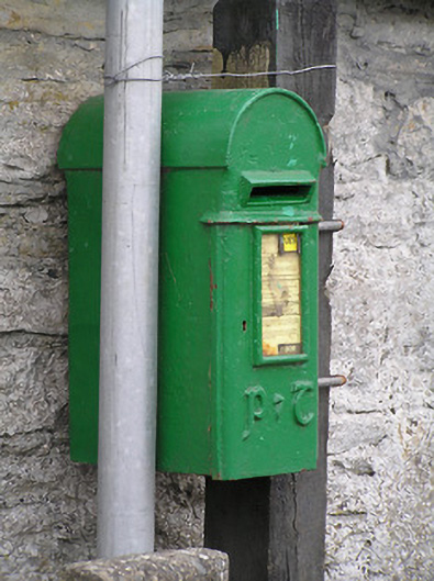 post boxpost box · 687 yd
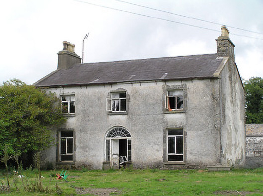 Castle Nugenthouse · 714 yd
 Enclosure in DrummanEnclosure · 992 yd
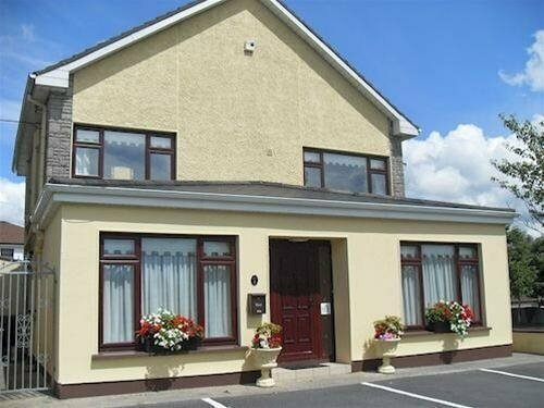 LisnagreeFairy fort / earthen ringfort · 1011 yd
 CastleCastle, motte · 1.6 mi
 Granard MotteMotte-and-bailey castle remains · 3.0 mi
 1798 Monumentmonument · 3.0 mi
 Clonfin Ambush MemorialMemorial · 3.7 mi
 Cloonfin WoodForest · 4.8 mi
 Edgeworthstown BypassMemorial · 5.0 mi
 CartronfreeMountain / peak · 5.9 mi