What is recorded here
On a N-facing slope in pasture. Depicted as a circular enclosure with the designation 'Fort' on the 1837 ed. of the OS 6-inch map. A report in 1975 (SMR file) recorded a raised circular area enclosed by a low bank of earth and stone. There was no trace of a fosse and the original entrance was not recognisable. It has since been levelled and is not visible at ground level.
Compiled by: Patrick F. O'Donovan
Date of upload: 26 August 2011
The monument record does not grant public access. Check the route and ask the landowner before entering private land.
- What survives
- Recorded monument
Places near here
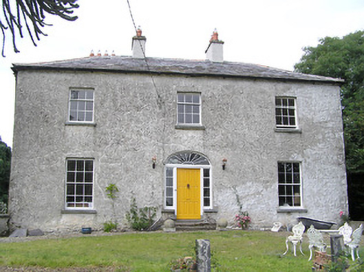 Moorhill Househouse · 181 yd
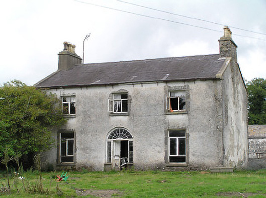 Castle Nugenthouse · 670 yd
 Site of Castle NugentCastle, unclassified · 727 yd
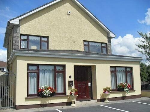 LisnagreeFairy fort / earthen ringfort · 1099 yd
 Enclosure in DrummanEnclosure · 1311 yd
 Moat of GranardCastle, motte and bailey · 2.2 mi
 Granard MotteMotte-and-bailey castle remains · 2.2 mi
 1798 Monumentmonument · 2.2 mi
 Clonfin Ambush MemorialMemorial · 3.4 mi
 Cloonfin WoodForest · 4.3 mi
 CartronfreeMountain / peak · 5.2 mi
 Edgeworthstown BypassMemorial · 5.5 mi