
What is recorded here
In pasture, on break in gentle W-facing slope. Roughly circular area (11m N-S) enclosed by earthen bank ESE->WSW, and by dry-stone wall (int. H 0.55m; ext. H 1.25m) WSW->ESE, with external fosse (Wth 3.3m; D 0.2m) WSW->NNE. Wall is part of N-S field boundary. Bank is heavily masked by overgrowth, with organic debris dumped against its external face. Interior, under dense overgrowth, dips gently towards centre.
Compiled by: Denis Power
Date of upload: 26 August 2011
A local fairy fort (ringfort/rath); wider significance not recorded.
The monument record does not grant public access. Check the route and ask the landowner before entering private land.
- What survives
- Recorded monument
Places near here
 Fulacht fia in LisbaneFulacht fia · 137 yd
 IndicatedFairy fort / earthen ringfort · 525 yd
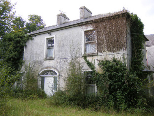 Ballysteen Housecountry house · 911 yd
 CastleCastle, unclassified · 1232 yd
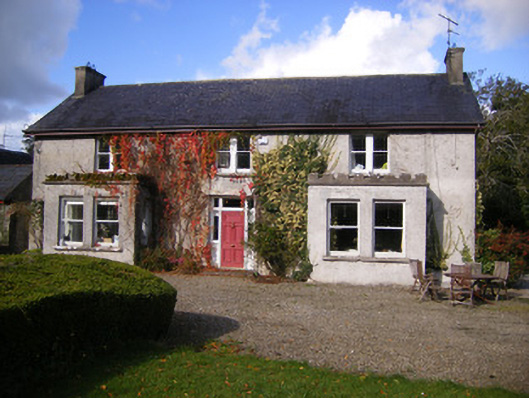 Kilcosgrave Househouse · 1377 yd
 Site of CastleCastle, unclassified · 1378 yd
 St. Luke's WellSpring · 2.9 mi
 St. Kieran's WellSpring · 3.3 mi
 Askeaton CastleHeritage attraction · 4.6 mi
 Foynes Flying Boat & Maritime MuseumMuseum · 4.8 mi
 Holly IslandIslet · 4.8 mi
 Foynes Island ViewpointViewpoint · 5.0 mi
Other information
Photo: Credit not shown in the picture search · Rights wording not checked; contact us if this picture should be removed