What is recorded here
Denis Power recorded the Ballysteen standing stone in 2011, revealing a limestone marker bruised smooth by generations of cattle rubbing against its warmth. The beast may have marked territory or relieved itch, but the stone still points south like a forgotten needle. Human hands may have set it before livestock claimed it, yet animal bodies have since written their own history across its surface.
In pasture, on a break in a S-facing slope. An upright stone of limestone (Wth 0.98m; T 0.55m; H 1.1m), with its long axis aligned N-S. The surface of the stone has been worn smooth by cattle rubbing against it. The stone is irregular in shape but its top is roughly pointed and higher at its S end.
Compiled by: Denis Power
Date of upload: 26 August 2011
The monument record does not grant public access. Check the route and ask the landowner before entering private land.
- What survives
- Recorded monument
Places near here
 IndicatedFairy fort / earthen ringfort · 198 yd
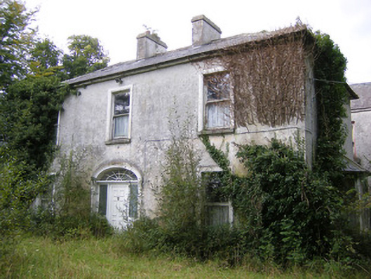 Ballysteen Housecountry house · 248 yd
 Enclosure in LisbaneEnclosure · 663 yd
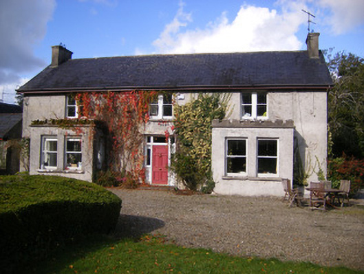 Kilcosgrave Househouse · 1436 yd
 Site of CastleCastle, unclassified · 1446 yd
 CastleCastle, unclassified · 1595 yd
 St. Luke's WellSpring · 2.7 mi
 St. Kieran's WellSpring · 3.2 mi
 Foynes Flying Boat & Maritime MuseumMuseum · 4.9 mi
 Askeaton CastleHeritage attraction · 4.9 mi
 Foynes Island ViewpointViewpoint · 5.1 mi
 Holly IslandIslet · 5.2 mi