
What is recorded here
In pasture, atop low limestone hillock. Circular area (27.9m N-S; 29m E-W) enclosed by earth-and-stone bank, with external fosse (Wth 1.9m; D 0.45m) SW->NNE and NE->SSE. Bank (int. H 0.35m; ext. H 1.3m), which has a ruinous dry-stone wall (H 0.85m) running along base of external face, best preserved SW->NNW. Fosse infilled with loose stone NE->SSE; possible causeway (Wth 2m) at ENE though no break in bank here. Interior, covered by mature deciduous trees, slopes gently down to SE.
Compiled by: Denis Power
Date of upload: 26 August 2011
The monument record does not grant public access. Check the route and ask the landowner before entering private land.
- What survives
- Recorded monument
Places near here
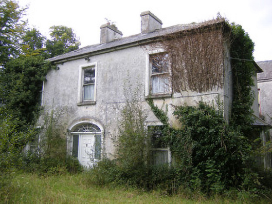 Ballysteen Housecountry house · 422 yd
 Fulacht fia in LisbaneFulacht fia · 523 yd
 Enclosure in LisbaneEnclosure · 525 yd
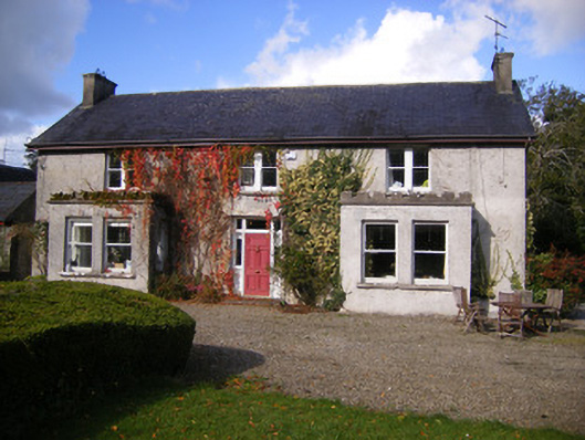 Kilcosgrave Househouse · 1273 yd
 Site of CastleCastle, unclassified · 1282 yd
 CastleCastle, unclassified · 1399 yd
 St. Luke's WellSpring · 2.8 mi
 St. Kieran's WellSpring · 3.3 mi
 Foynes Flying Boat & Maritime MuseumMuseum · 4.8 mi
 Askeaton CastleHeritage attraction · 4.9 mi
 Foynes Island ViewpointViewpoint · 5.0 mi
 Holly IslandIslet · 5.1 mi
Other information
Photo: Credit not shown in the picture search · Rights wording not checked; contact us if this picture should be removed