What is recorded here
Forty metres of forgotten circle still holds its shape on the Craggard slope, though ploughs and time have shaved the bank to a low ridge. The fairies never lived there, of course, but people drew a line around that much ground and kept it separate, perhaps for a house, a garden or a claim. The shallow ditch running north suggests the boundary once cut deeper into the land before pasture softened it. What remains is not a complete fortress but a measured amount of earth still arranged the way someone wanted it to be.
In pasture, on gentle N-facing slope. Monument, depicted on 1841 OS 6-inch map as embanked circular enclosure, has been partially levelled. It is now evident as circular area (diam. c. 40m) enclosed by earthen bank S->ENE (int. H 0.4m; ext. H 0.2m), best preserved N->NE. Shallow linear depression (D 0.3m; Wth 1.1m; L 18.5m), on rough N-S axis, extends from external base of bank towards field boundary to N. Interior, under pasture, slopes down gently to W.
Compiled by: Denis Power
Date of upload: 26 August 2011
The monument record does not grant public access. Check the route and ask the landowner before entering private land.
- What survives
- Recorded monument
Places near here
 CastleCastle, unclassified · 561 yd
 Site of CastleCastle, unclassified · 595 yd
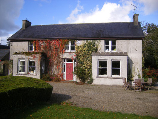 Kilcosgrave Househouse · 598 yd
 Fulacht fia in LisbaneFulacht fia · 664 yd
 Enclosure in LisbaneEnclosure · 801 yd
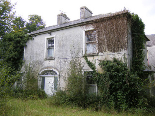 Ballysteen Housecountry house · 1221 yd
 St. Luke's WellSpring · 3.3 mi
 St. Kieran's WellSpring · 3.7 mi
 Foynes Flying Boat & Maritime MuseumMuseum · 4.3 mi
 Foynes Island ViewpointViewpoint · 4.5 mi
 Gammarel PointHeadland · 4.6 mi
 Askeaton CastleHeritage attraction · 4.6 mi