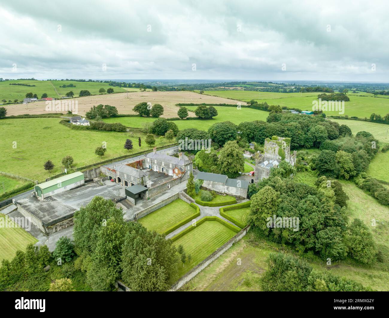
What is recorded here
Enclosure in Lawlesstown (Kiltegan parish) is an enclosure in Lawlesstown (Kiltegan parish), County Tipperary, Ireland. It occupies a valley beside a south-facing slope in marshy pasture. The levelled site remains discernible as a raised, roughly circular area measuring 48.7 metres north to south and about 44.6 metres east to west. A low, gradual scarp defines the boundary, especially in the southwest quadrant, while a fosse is evidenced in the north quadrant.
In a valley at base of a S-facing slope in very marshy pasture, particularly immediately E of enclosure. Area S of monument has been reclaimed. Ringfort (TS077-075----) visible to NE. Enclosure has been levelled but is still discernible as a raised, roughly circular area (diam. 48.7m N-S; c. 44.6m E-W) defined by a low, very gradual scarp (H 0.18-0.33m), particularly visible in SW quadrant. Evidence of a fosse in the N quadrant (Wth 2.5m; D 0.55m above ext.). The field boundary immediately S of enclosure has been removed.
Compiled by: Jean Farrelly
Date of upload: 26 August 2011
This remains an important historical record, but the official description says the monument is no longer visible or has been destroyed. The monument record does not grant public access. Check the route and ask the landowner before entering private land.
- What survives
- No visible remains or recorded as destroyed
Places near here
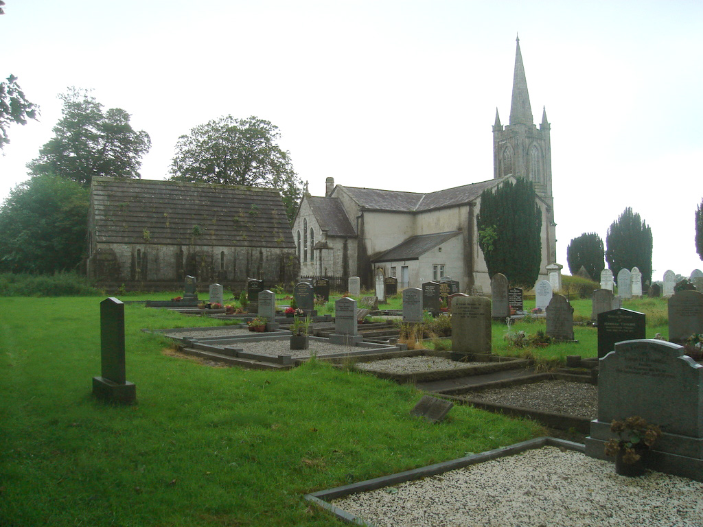 Church (in Ruins)Church · 862 yd
 Burial GroundEcclesiastical enclosure · 873 yd
 RathduffFairy fort / earthen ringfort · 1452 yd
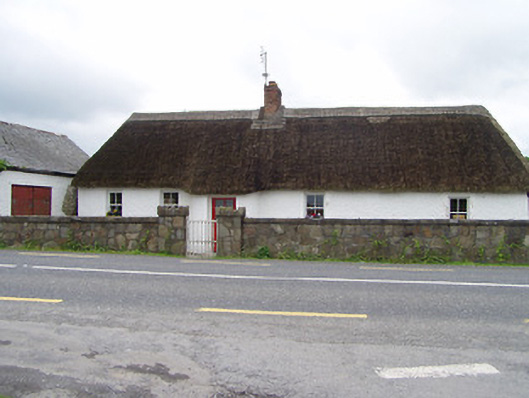 The Thatchhouse · 1611 yd
 RathronanCastle, ringwork · 1.8 mi
 Pedunculate OakPedunculate Oak · 1.9 mi
 CastleCastle, unclassified · 2.0 mi
 Siege of Clonmelsiege · 2.3 mi
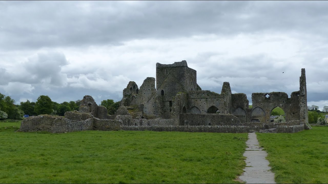 Gairdín Gharraí na LeadhbMemorial · 2.3 mi
 The WoodsForest · 2.5 mi
 Vincent HanleyMemorial · 2.5 mi
 Grubb's IslandIslet · 2.5 mi
Other information
Photo: Credit not shown in the picture search · Rights wording not checked; contact us if this picture should be removed