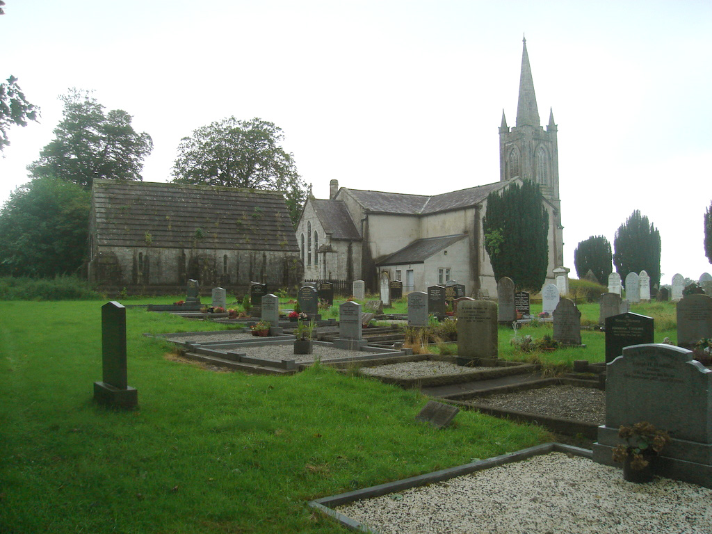
What is recorded here
On the crest of the hill, W of centre within a graveyard (TS077-078003-) and possible ecclesiastical enclosure (TS077-078002-). It is mentioned in the Papal Chancery documents in 1260 as 'Kiltagan' and in the Papal Taxation records c. 1306 as 'Kiltaga' (Ó Cearbhaill 2007, 242). The church is aligned E-W (dims. c. 8.4m N-S; c. 16.8m E-W), the walls have collapsed and are grass covered. According to the OS Letters only one portion of a wall was standing (L 11' [3.35m]; T 2'10” [0.85]; H 12' [3.65m]), but the extent of the building could be traced by the foundations (L 62' [18.9m] and Wth 20'10” [6.34m]) (O'Flanagan 1930, vol. 1, 50). The Civil Survey (1654-6) mentions that 'Seaven accres of the sd gleabland [in the parish of Donoghmore and Kiltegan] being situated on the West of the Church of Kiltegane are bounded on all sides with the lands of Toburhany in this Parish' (Simington 1931, vol. 1, 297). The church is not indicated on the 1st (1840) ed. OS 6-inch map but shown on the 2nd (1904) ed. OS 6-inch map designated 'Church (in ruins)'.
Compiled by: Jean Farrelly
Date of upload: 26 August 2011
The church at Kiltegan was likely founded in the early medieval period, with documentary evidence from 1260 mentioning it as 'Kiltagan.' It is situated within a possible ecclesiastical enclosure and graveyard, suggesting a long-standing religious significance in the local area.
The monument record does not grant public access. Check the route and ask the landowner before entering private land.
- What survives
- Recorded monument
Places near here
 Burial GroundEcclesiastical enclosure · 14 yd
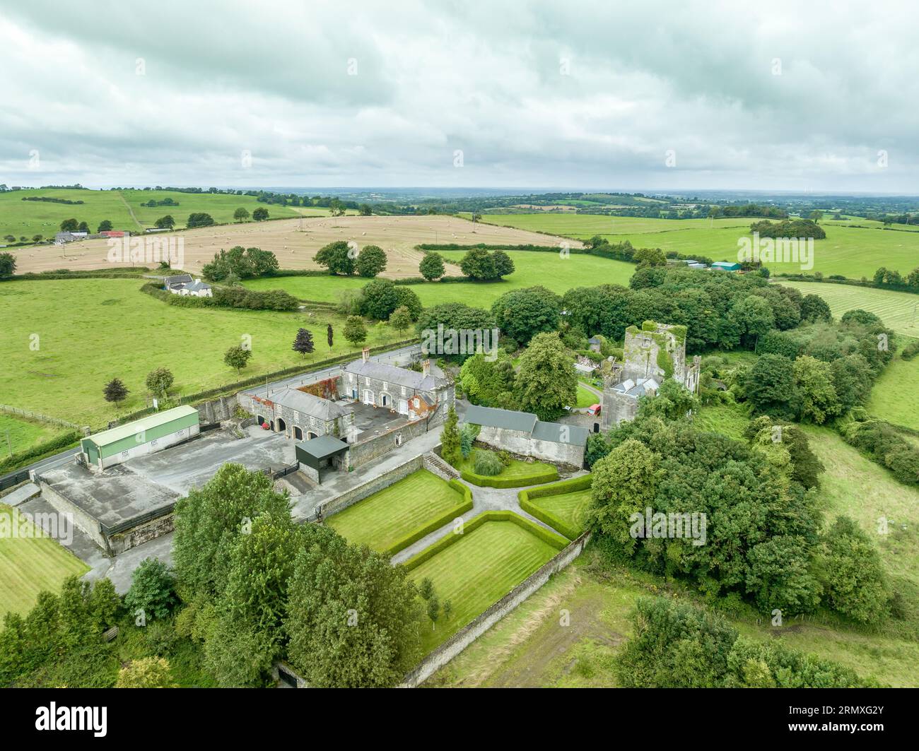 Enclosure in Lawlesstown (kiltegan Par.)Enclosure · 862 yd
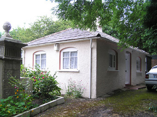 Summerhill Housedemesne walls/gates/railings · 1164 yd
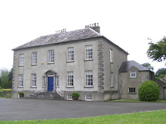 Ballingarrane Housecountry house · 1431 yd
 Toberaheena WellSpring · 1.7 mi
 RathronanCastle, ringwork · 1.7 mi
 Siege of Clonmelsiege · 1.8 mi
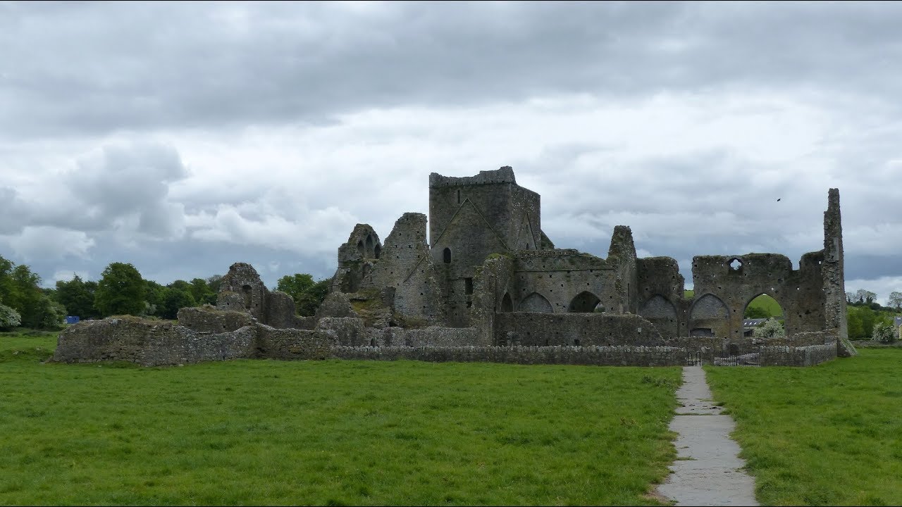 Gairdín Gharraí na LeadhbMemorial · 1.8 mi
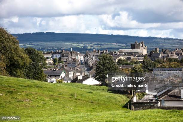 VestryCastle · 1.9 mi
 Vincent HanleyMemorial · 2.0 mi
 Grubb's IslandIslet · 2.1 mi
 Merchant's HouseVisitor information · 2.1 mi
Other information
Photo: Credit not shown in the picture search · Rights wording not checked; contact us if this picture should be removed