
What is recorded here
Enclosure encircling the crest of a hill and part of the SW slope, in hilly terrain, under pasture. The enclosure is marked as a 'Burial Ground' on the 1st (1840) ed. OS 6-inch map. The N and W sides of the graveyard (TS077-078003-) are straight, however, the S and E sides are curving, possibly indicating the curve of an earlier enclosure. The much denuded church (TS077-078001-) lies W of centre within the graveyard. Within the graveyard a low earth and stone bank runs N-S parallel to and near the W side of the enclosure. The enclosing element is typical of a field bank (Wth 0.9m crest, c. 2.8m base; int. H 1.13m) and is surmounted by hedgerow. Approx. 2m beyond the straight-sided N wall, externally, there is a curving bank (Wth 1.8m; int. H 0.6m; ext. H 0.5m) which may be the original line of the ecclesiastical enclosure. There is no trace of this bank in field to N and W, both of which are under tillage. In the field immediately S of the church and graveyard there is a low rectangular platform (diam. 19m N-S; 41m E-W) defined by a scarp (max. H 0.87m) on the S and W sides and a field bank to N and E.
Compiled by: Jean Farrelly
Date of upload: 26 August 2011
This remains an important historical record, but the official description says the monument is no longer visible or has been destroyed. The monument record does not grant public access. Check the route and ask the landowner before entering private land.
- What survives
- No visible remains or recorded as destroyed
Places near here
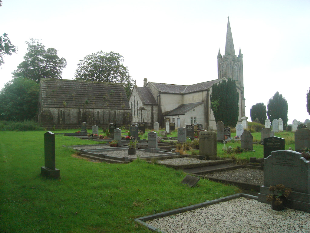 Church (in Ruins)Church · 14 yd
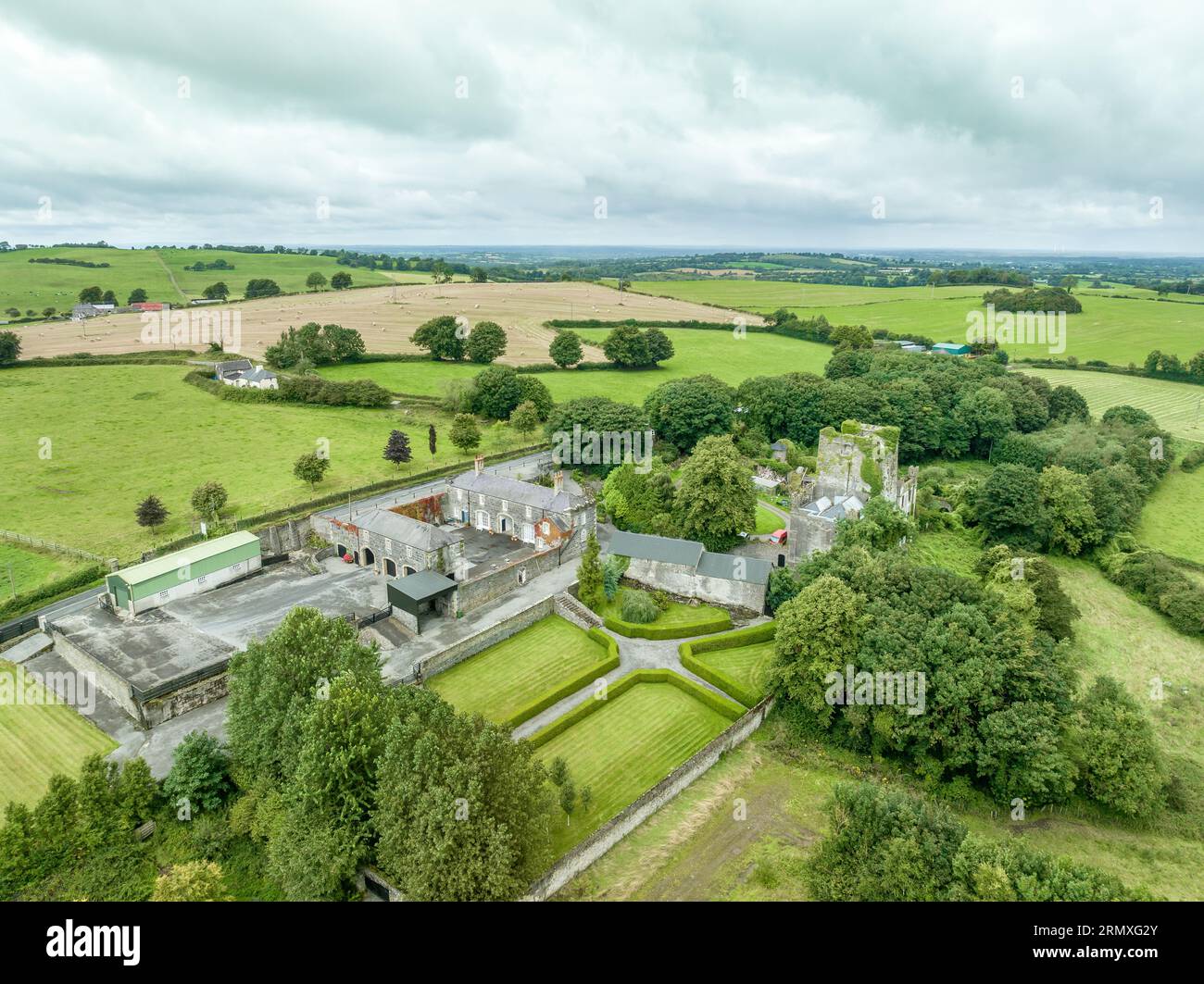 Enclosure in Lawlesstown (kiltegan Par.)Enclosure · 873 yd
 Enclosure in BallingarraneEnclosure · 984 yd
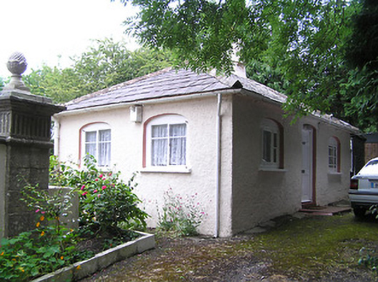 Summerhill Housedemesne walls/gates/railings · 1154 yd
 Toberaheena WellSpring · 1.7 mi
 RathronanCastle, ringwork · 1.7 mi
 Siege of Clonmelsiege · 1.8 mi
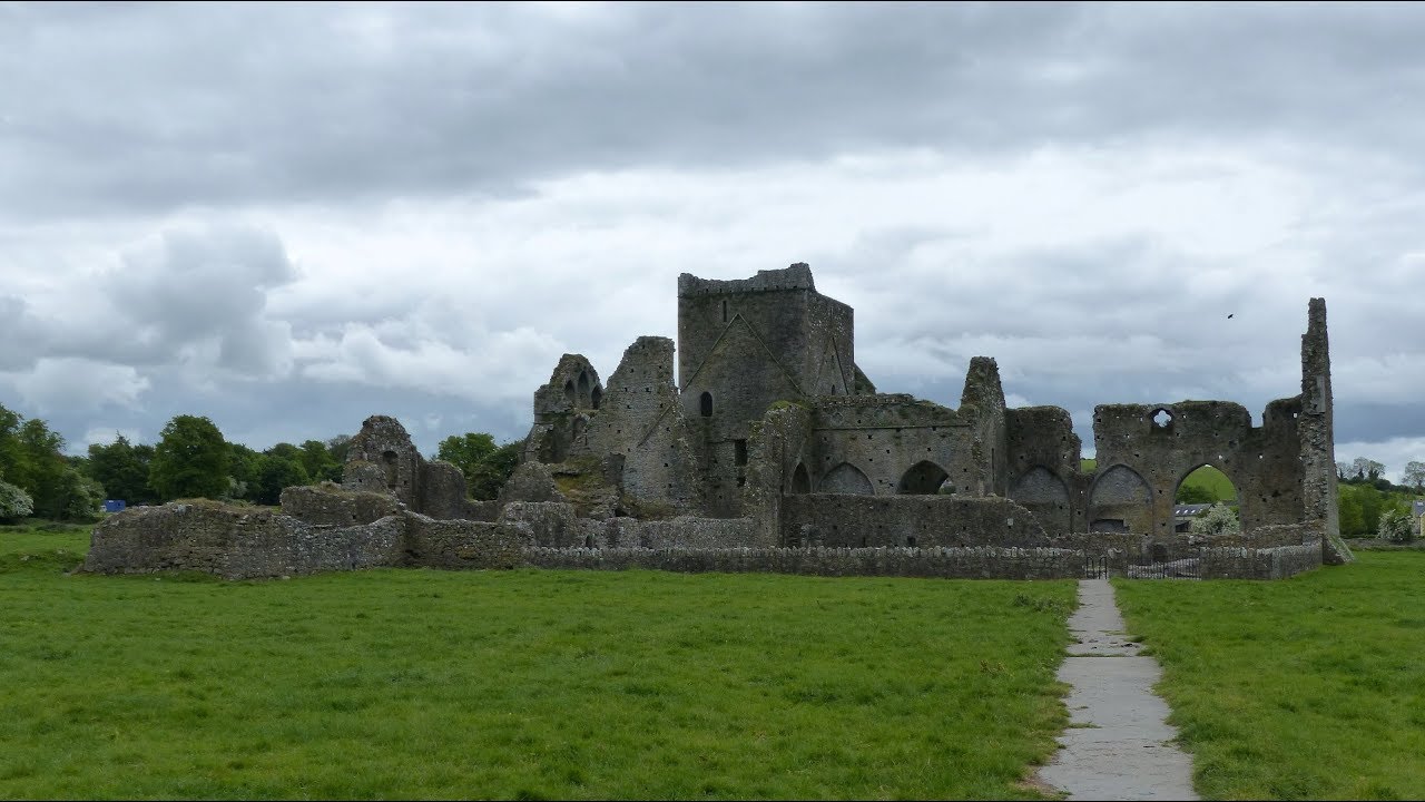 Gairdín Gharraí na LeadhbMemorial · 1.8 mi
 VestryCastle · 1.9 mi
 Vincent HanleyMemorial · 2.0 mi
 Grubb's IslandIslet · 2.1 mi
 Merchant's HouseVisitor information · 2.1 mi
Other information
Photo: Credit not shown in the picture search · Rights wording not checked; contact us if this picture should be removed