
What is recorded here
On the summit of a flat-toped ridge in generally undulating terrain. The field has recently been cut for silage. The monument was identified as a roughly circular cropmark (diam. c. 30m) on an aerial photograph (CUCAP July 1970 BDR 69). Slight undulations in field but no definable enclosure.
Compiled by: Jean Farrelly
Date of upload: 26 August 2011
The monument record does not grant public access. Check the route and ask the landowner before entering private land.
- What survives
- Recorded monument
Places near here
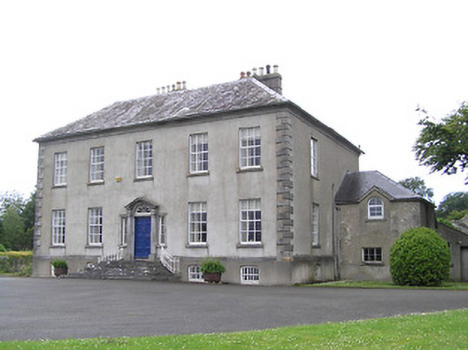 Ballingarrane Housecountry house · 475 yd
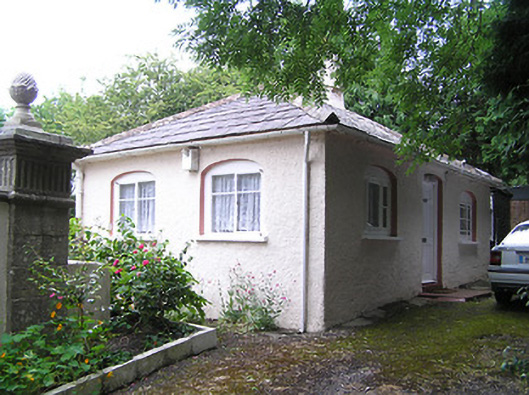 Summerhill Housedemesne walls/gates/railings · 699 yd
 Burial GroundEcclesiastical enclosure · 984 yd
 Patricks WellHoly well · 1374 yd
 Toberaheena WellSpring · 1.3 mi
 Crusader's GraveHeritage attraction · 1.5 mi
 Greenan Castle (in Ruins)House, fortified house · 1.5 mi
 Siege of Clonmelsiege · 1.5 mi
 Common LimeCommon Lime · 1.6 mi
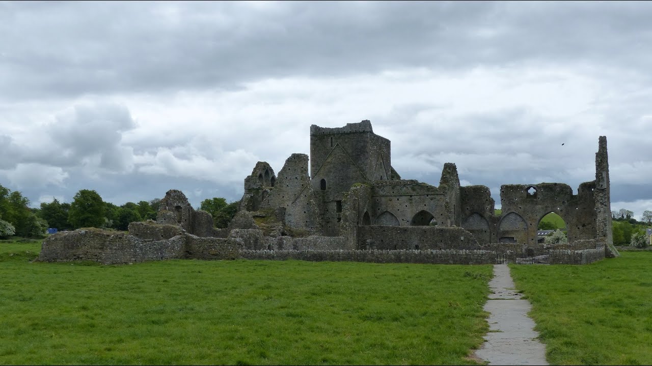 Gairdín Gharraí na LeadhbMemorial · 1.6 mi
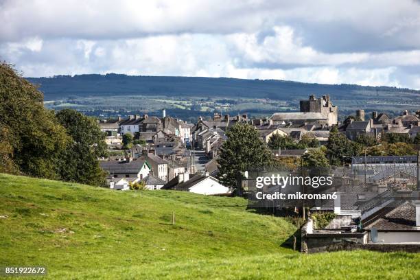 VestryCastle · 1.7 mi
 European ashEuropean ash · 1.7 mi
Other information
Photo: Credit not shown in the picture search · Rights wording not checked; contact us if this picture should be removed