
What is recorded here
According to the Civil Survey (1654-6) Piers Butler, an Irish papist, owned the lands of 'Knockynanamy' which has been equated with the modern townland of Knockeevan and 'upon the sd lands of Knockynanamy stands a castle' (Simington 1931, vol. 1, 302). This castle is also indicated on the accompanying 17th-century Down Survey map (1655-6). There is no visible trace of this castle above ground. Knockeevan House, near which the castle is thought to be located, has been demolished and only the walled garden and outbuildings survive in a ruinous state. The S wall of the wall garden incorporates an earlier length of walling (H 2.3m; L 30.6m) which terminates with large limestone quoins at either end and is possibly the northern bawn wall of the castle or 17th-century house (TS077-025002-). The walling is composed of limestone rubble, roughly coursed. On the internal N face, 5.4m from the SE angle the quoins survive to a height of 1.9m, above this level the wall appears to have been rebuilt, incorporating several cut stone fragments including a fragment (H 0.22m; Wth 0.3m) with a chamfered edge (Wth 0.1m) and a possible rebate, and two fragments, one above the other, with drafted margins, peck-tooling with a chamfered edge (the upper fragment H 0.18m; x Wth 0.85m; chamfer Wth 0.02m; the lower fragment H 0.21m; Wth 0.78m; chamfer Wth visible 0.08m). Approximately 20cm below the lower fragment there is a limestone block (H 0.12m; Wth 0.48m) which appears to have a slight curve. The W quoins, 36m from the SE angle, survive to a height of 1.4m and consist of three large limestone blocks (lower H 0.29m; Wth 0.61; middle H 0.44m; Wth 0.39m; upper H 0.29m; Wth 0.645m), above these the wall has been modified and a tie-stone inserted to key the existing wall into the later garden wall. Approximately 0.13m above this key stone there is a cut limestone block (H 0.225m; Wth 0.2m) with a drafted margin and peck tooling. Another limestone fragment (H 0.1m; Wth 0.26m; H above ground level 2.05m), with punch tooling within margins and a chamfer along the length of two of its edges, is incorporated in the external face of the E garden wall, 2.1m from the SE angle.
Compiled by: Jean Farrelly
Date of upload: 26 August 2011
Piers Butler, an Irish Catholic landowner, held lands in Knockeevan in the mid-17th century, upon which a castle stood. The site is remembered through the 1654–56 Civil Survey, which documented Catholic-owned lands during the Cromwellian land confiscation.
This remains an important historical record, but the official description says the monument is no longer visible or has been destroyed. The monument record does not grant public access. Check the route and ask the landowner before entering private land.
- What survives
- No visible remains or recorded as destroyed
Places near here
 Pedunculate OakPedunculate Oak · 164 yd
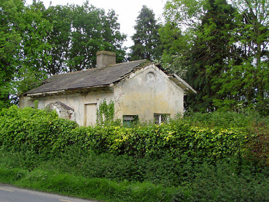 Knockeevan Housegate lodge · 212 yd
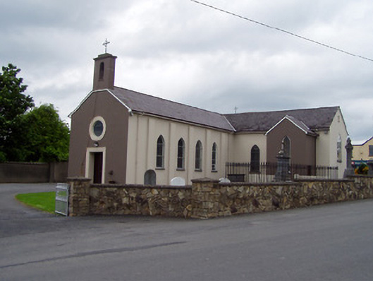 Saint Michael's Catholic Churchchurch/chapel · 677 yd
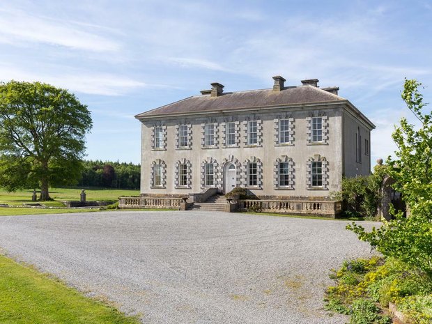 Enclosure in Ballyveelish NorthEnclosure · 1.2 mi
 Structure in Ballyveelish NorthStructure · 1.2 mi
 BatteryBawn · 1.8 mi
 Castle (in ruins)Castle, tower house · 2.0 mi
 Persian WalnutPersian Walnut · 3.0 mi
 Francis HopkinsMemorial · 4.3 mi
 John HackettMemorial · 4.3 mi
 Merchant's HouseVisitor information · 4.3 mi
 Main GuardHeritage attraction · 4.3 mi
Other information
Photo: Credit not shown in the picture search · Rights wording not checked; contact us if this picture should be removed