
What is recorded here
On level ground in rolling pasture. A castle (TS069-070001-) and church (TS069-070003-), neither of which are not visible above ground, lie c. 60m to the E and c. 90m to the SSE respectively. In the Civil Survey (1652-54) the proprietor in 1640 is given as ‘Jeffry Mocler of Moclerstowne Esqr. Irish Papist’ and ‘The sd lands hath on it a castle & Bawne tenantable’ (Simington 1931, vol. 1, 210). On the 1st (1840) ed. 6-inch OS map ‘Battery’ is indicated immediately W of, and probably refers to, the bawn wall. A substantial length of the W wall (L 60.57m) of the bawn survives, though the corners are missing. It is constructed of limestone rubble, roughly coursed with an external base-batter (H 0.8m; Wth 0.15m) on the southern narrower length of wall (wall T 1m). The wall does not run completely straight, having quite a pronounced kink in it roughly mid-way along. An entrance (Wth 2m) has been broken through the bawn 8.4m from the S end. The northern end of the wall (L c. 30m; T 1.54m; H 3.4m) is considerably wider than the southern. Though the full length of the W wall is unknown, it is possible that there was some form of gatehouse at the N end (wall H 1.25m) where there is a recess (Wth 2.3m; D 0.6m) in the internal face of the wall and an internal wall face (Wth 1.4m) immediately N of the recess, with possible remains of an inwardly projecting return (T 1.1m) on the S side, the wall of the N side is broken out due to the insertion of a modern gate pier.
Compiled by: Jean Farrelly
Date of upload: 26 September 2011
The monument record does not grant public access. Check the route and ask the landowner before entering private land.
- What survives
- Recorded monument
Places near here
 Site of ChurchChurch · 96 yd
 ToberamaherHoly well · 1025 yd
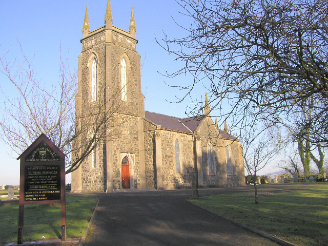 Colman Church (in ruins)Church · 1465 yd
 Mora Church (in ruins)Church · 1.1 mi
 Rathdrum Castle (in ruins)Castle, tower house · 1.6 mi
 CastleCastle, unclassified · 1.8 mi
 Pedunculate OakPedunculate Oak · 1.9 mi
 Grove WoodForest · 3.6 mi
 East GateMemorial · 3.9 mi
 Kilknockan HillMountain / peak · 4.8 mi
 Caher AbbeyHeritage attraction · 7.7 mi
 Enclosure in Colman (hennessy)Enclosure · 1500 yd
Other information
Photo: Credit not shown in the picture search · Rights wording not checked; contact us if this picture should be removed