
What is recorded here
In a yard with a house to the N and office buildings to the W, on a gentle SSW-facing slope in rolling pasture. There is a raised garden feature (H 0.9m; dims. c. 10m x 15m) in the yard, which according to local tradition is the location of a graveyard. A short length of wall (1m x 1.5m; H 1.45m), with no facing surviving, which is incorporated into this feature near the SW corner may be all that remains of the church. The base of this fragment of wall is encased by concrete (H 0.18m).
Compiled by: Jean Farrelly
Date of upload: 26 September 2011
The monument record does not grant public access. Check the route and ask the landowner before entering private land.
- What survives
- Recorded monument
Places near here
 BatteryBawn · 96 yd
 ToberamaherHoly well · 1118 yd
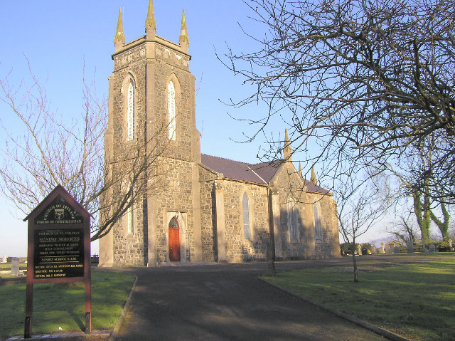 Colman Church (in ruins)Church · 1560 yd
 Enclosure in Colman (hennessy)Enclosure · 1595 yd
 Mora Church (in ruins)Church · 1.2 mi
 Rathdrum Castle (in ruins)Castle, tower house · 1.7 mi
 Pedunculate OakPedunculate Oak · 1.9 mi
 Grove WoodForest · 3.6 mi
 East GateMemorial · 3.9 mi
 Kilknockan HillMountain / peak · 4.8 mi
 Caher AbbeyHeritage attraction · 7.7 mi
 Enclosure in Moorstown (mora Par.)Enclosure · 1665 yd
Other information
Photo: Credit not shown in the picture search · Rights wording not checked; contact us if this picture should be removed