
What is recorded here
At SE side of road. No visible surface trace. Small indentation in hedgerow field boundary encloses grass margin between it and road. According to local information, blocked up for safety. Church (TS070-086----) located 410m to NE.
Compiled by: Jean Farrelly
Date of upload: 26 August 2011
Linked to Saint Colman, Toberamaher is traditionally associated with the cure of cramp, reflected in its local name "cramptmore." Little specific folklore survives, but such wells were often sites of pilgrimage and healing rituals in early Christian Ireland.
The monument record does not grant public access. Check the route and ask the landowner before entering private land.
- What survives
- Recorded monument
Places near here
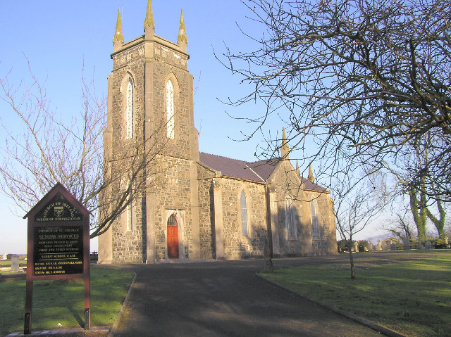 Colman Church (in ruins)Church · 443 yd
 Enclosure in Colman (hennessy)Enclosure · 486 yd
 Enclosure in Moorstown (mora Par.)Enclosure · 985 yd
 BatteryBawn · 1024 yd
 Rathdrum Castle (in ruins)Castle, tower house · 1.0 mi
 Mora Church (in ruins)Church · 1.2 mi
 Pedunculate OakPedunculate Oak · 2.1 mi
 Grove WoodForest · 3.0 mi
 East GateMemorial · 3.3 mi
 Kilknockan HillMountain / peak · 4.2 mi
 Caher AbbeyHeritage attraction · 8.3 mi
 Site of ChurchChurch · 1118 yd
Other information
Photo: Credit not shown in the picture search · Rights wording not checked; contact us if this picture should be removed