
What is recorded here
In arable field, on a S-facing slope. No visible surface trace. Shown on latest edition OS 6-inch map as a circular enclosure (dims. 25m N-S; 25m E-W) enclosed by large sub-rectangular enclosure (dims. 70m NE-SW; 75m NW-SE). According to Cahill (1982), monument levelled c. 1970. Two moated sites (TS069-061002-; TS069-061003-) located 80m to SSW and 120m to S respectively.
Compiled by: Jean Farrelly
Date of upload: 26 August 2011
The monument record does not grant public access. Check the route and ask the landowner before entering private land.
- What survives
- Recorded monument
Places near here
 Enclosure in Colman (hennessy)Enclosure · 872 yd
 IndicatedRoad, road/trackway · 907 yd
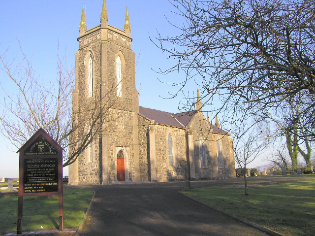 Colman Church (in ruins)Church · 929 yd
 ToberamaherHoly well · 985 yd
 BatteryBawn · 1576 yd
 Rathdrum Castle (in ruins)Castle, tower house · 1.2 mi
 Pedunculate OakPedunculate Oak · 2.7 mi
 European YewEuropean Yew · 3.1 mi
 East GateMemorial · 3.2 mi
 Kilknockan HillMountain / peak · 4.0 mi
 St. Nicholas WellHoly well · 1403 yd
 Mora Church (in ruins)Church · 1481 yd
Other information
Photo: Credit not shown in the picture search · Rights wording not checked; contact us if this picture should be removed