
What is recorded here
In arable and pasture. A road which according to Power (1908, vol. 11, 143) is 'portion of the ancient road from New Inn and the west to Fethard, through Red City'. A dirt track (L c. 180m) associated with a factory at the western end is along the same alignment. There is no visible surface trace for most of central part (L c. 600m), however, it is defined by a stone-faced field boundary to the N which forms a townland boundary between Garraun and Moorstown. The road is depicted on the OS 6-inch map as turning at a right angle to the SSE (L c. 80m), defined by field boundary to the E and continuing (L c. 140m) to the ENE and defined by a field boundary to the N. The latter is in an area of abandoned dog kennels. The road is depicted on the OS 6-inch map as turning at a right angle (L c. 50m) to the NNW. This meets a narrow bohereen at a right-angle and turns (L 90m) to E off the edge of the map. The bohereen (Wth 3m) is defined by an earthen field boundary on either side and may represent remains of the former road. Forestry saplings planted in field to N along mid-section c. 20m buffer zone established between saplings and location of road. An enclosure (TS069-078----) is located c. 75m to the N and a ringfort (TS069-059) is located c. 70m to the NW.
Compiled by: Jean Farrelly
Date of upload: 26 August 2011
The monument record does not grant public access. Check the route and ask the landowner before entering private land.
- What survives
- Recorded monument
Places near here
 Enclosure in Moorstown (mora Par.)Enclosure · 907 yd
 St. Nicholas WellHoly well · 1477 yd
 Mora Church (in ruins)Church · 1521 yd
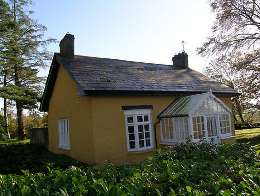 Tullamain Castlegate lodge · 1682 yd
 Rathdrum Castle (in ruins)Castle, tower house · 1.3 mi
 BatteryBawn · 1.4 mi
 European YewEuropean Yew · 3.0 mi
 East GateMemorial · 3.1 mi
 Pedunculate OakPedunculate Oak · 3.2 mi
 Kilknockan HillMountain / peak · 3.8 mi
 Enclosure in Colman (hennessy)Enclosure · 1637 yd
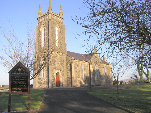 Colman Church (in ruins)Church · 1707 yd
Other information
Photo: Credit not shown in the picture search · Rights wording not checked; contact us if this picture should be removed