What is recorded here
In level area of gentle WSW-facing pasture. Earthworks were identified on an aerial photograph (CUCAP 20 July 1968 AVS 64) to the S and SE of Mora Church (TS069-060001-). There are no earthworks visible above ground other than linear depressions where field boundaries had been removed. According to Cahill (1982), a complex of earthworks which had been visible around the church were removed as a result of farm improvements early in 1980.
Compiled by: Jean Farrelly
Date of upload: 27 September 2011
The monument record does not grant public access. Check the route and ask the landowner before entering private land.
- What survives
- Recorded monument
Places near here
 Mora Church (in ruins)Church · 161 yd
 St. Nicholas WellHoly well · 198 yd
 Enclosure in Moorstown (mora Par.)Enclosure · 837 yd
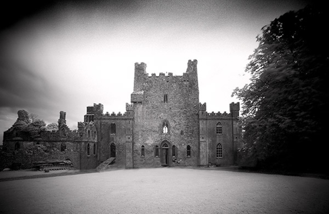 Castle Blake in ruinsCastle, tower house · 1571 yd
 IndicatedRoad, road/trackway · 1674 yd
 BatteryBawn · 1.1 mi
 Pedunculate OakPedunculate Oak · 3.0 mi
 European YewEuropean Yew · 3.9 mi
 Cashel Folk MusuemMuseum · 6.7 mi
 Caher AbbeyHeritage attraction · 7.7 mi
 Siege of Cahir Castlesiege · 7.8 mi
 Enclosure in RathsallaghEnclosure · 1.1 mi