
What is recorded here
In rough level pasture, to NE of River Moyle. Raised (H 1.0m) oval area (dims. 32m N-S; 29m E-W) defined by well formed earthen bank (Wth 0.3m; int. H 0.9m; ext. H 1.9m) SE-W-NW-NE. External fosse (Wth 4m at base; D 0.4m) at SW. Drain (long-axis WSW-ENE) skirts monument to N and flows into River Moyle. Interior has slight tilt downslope to E and has no grass cover within due to deep poaching by cattle. Mature trees around bank and within S and W sectors of interior. Barrow (TS069-067----) located 900m to SW.
Compiled by: Jean Farrelly
Date of upload: 26 August 2011
The monument record does not grant public access. Check the route and ask the landowner before entering private land.
- What survives
- Recorded monument
Places near here
 Mora Church (in ruins)Church · 997 yd
 St. Nicholas WellHoly well · 1010 yd
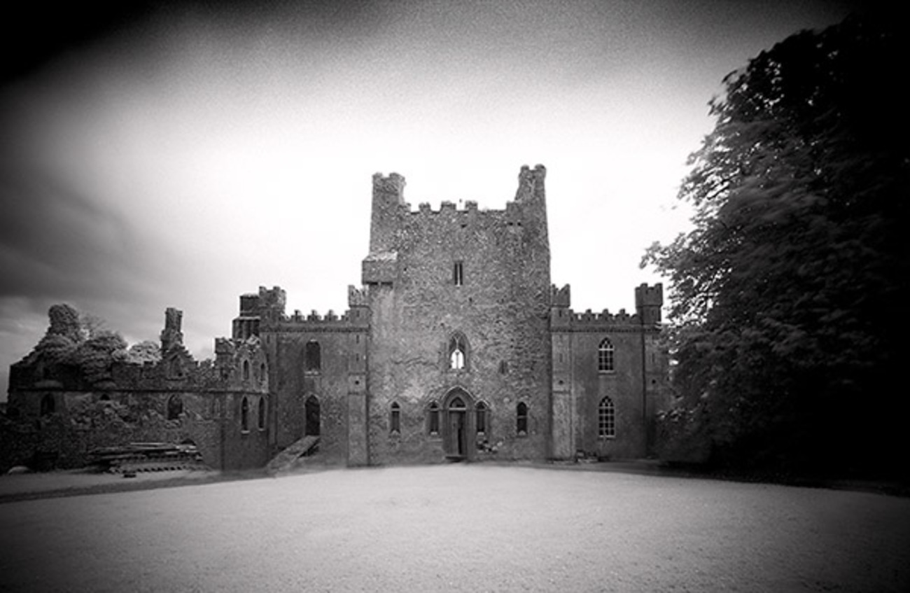 Castle Blake in ruinsCastle, tower house · 1456 yd
 Ballinattin Househouse · 1523 yd
 Site of ChurchChurch · 1.1 mi
 BatteryBawn · 1.1 mi
 Pedunculate OakPedunculate Oak · 2.8 mi
 European YewEuropean Yew · 4.3 mi
 East GateMemorial · 4.4 mi
 Kilknockan HillMountain / peak · 5.2 mi
 Caher AbbeyHeritage attraction · 7.2 mi
 Siege of Cahir Castlesiege · 7.4 mi
Other information
Photo: Credit not shown in the picture search · Rights wording not checked; contact us if this picture should be removed