What is recorded here
From the National Monuments Service (Archaeological Survey of Ireland) record TS077-077
Places near here
Photo credits
- Maker not stated on source page, uk.pinterest.com
- National Inventory of Architectural Heritage
- Maker not stated on source page, www.alamy.com
- Maker not stated on source page, v.pinimg.com.gslb.pinterest.com
- Moyle Rovers GAA official Clubify home page; individual photographer not stated, moylerovers.clubifyapp.com
- Algirdas at Lithuanian Wikipedia, Wikimedia Commons · Public domain
- Clerihan Parish and GAA Club Committee / Our Fundraiser; individual photographer not named, www.ourfundraiser.ie
- surrealpenguin, Wikimedia Commons · CC BY-SA 2.0
 Giants Head StoneCross-inscribed pillar · 756 yd
Explorer Tom Giants Head Stone is friends with a local celebrity who never actually showed up. It stands on the hill waiting for…
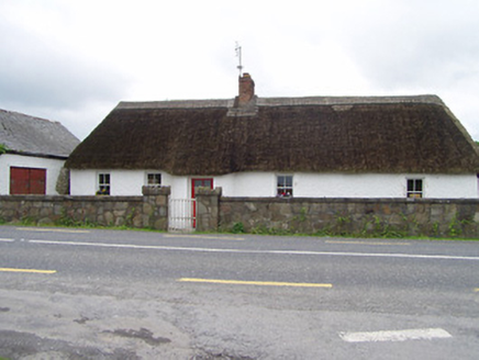 The ThatchHouse · 792 yd
Explorer Tom The Thatch in Giantsgrave is showing up to the wedding like it’s the best man who forgot his suit, its curved windbreak…
 Holy WellBullaun stone · 1416 yd
Explorer Tom Holy Well in Lawlesstown is sitting in a factory car park because even holy things need a convenient parking spot these…
 Rathronan ChurchMonument · 1752 yd
Explorer Tom Rathronan Church is really just a monument marking the burial place of the Hamerton family, which sounds like a fancy…
 Old boundary stone1.7 mi
Explorer Tom Old boundary stone took approximately four hundred cups of tea to build because the people doing the chiselling kept…
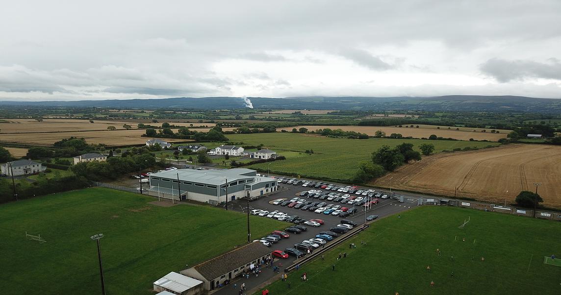 Moyle Rovers GAA pitchGAA ground · 1.7 mi
 Clonmel Railway StationBridge · 1.9 mi
Explorer Tom Clonmel Railway Station bridge is what it gave up for Lent: walking across itself, which I think is a bit dramatic but…
 Pedunculate Oak1.9 mi
Explorer Tom This Pedunculate Oak in County Tipperary has decided its New Year's resolution is to stop dropping leaves so messily…
 Knockeevan HouseGate lodge · 1.9 mi
Explorer Tom Knockeevan House gate lodge has ornate piers that look like they’re posing for a portrait. It’s disused now, but I bet…
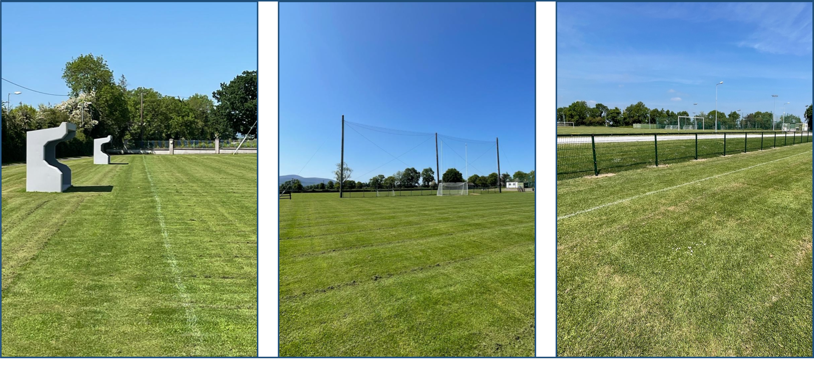 Clerihan GAA pitchGAA ground · 2.0 mi
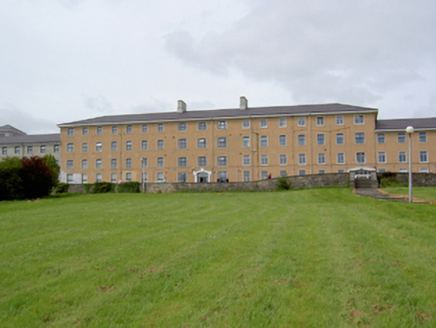 South Tipperary General HospitalHospital/infirmary · 2.0 mi
Explorer Tom South Tipperary General Hospital in Gortmaloge has a shortcut that is actually just a very long walk around the block…
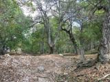 Persian Walnut2.7 mi
Explorer Tom A Persian Walnut in Tipperary is hiding a scandal that involves a very angry goat who refused to eat its nuts for…
More archaeology and monuments in County Tipperary · All of County Tipperary

What do you know about this place?Tap to add a comment or ask a question