What is recorded here
In a small glaciated valley, on SSW-facing slope with cliff face to NE. Rectangular area (11m NNE-SSW; 9.5m ESE-WNW) defined by earth-and-stone bank (L 8.7m at N; L 10m at E; L 8.6m at S) which has a gentle curve outwards (L 12m; Wth 2.7m; int. H 0.4m; ext. H 0.3m) at W. Evidence of stone facing along interior of N-side interior. Possible entrance (Wth 2m) in S-side; two breaches in N-side appear recent. Trace of fosse (Wth 3.35m; D 0.15m) outside bank to W. Interior slopes downwards with prevalent slope. Old field boundary (long-axis N-S) extends from N-side and a second of similar orientation is adjacent SE corner.
Compiled by: Denis Power
Date of upload: 26 November 2013
The monument record does not grant public access. Check the route and ask the landowner before entering private land.
- What survives
- Recorded monument
Places near here
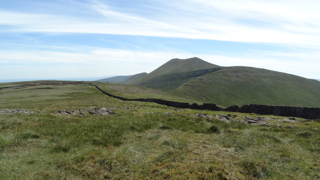 Field system in Knockroe (mason)Field system · 90 yd
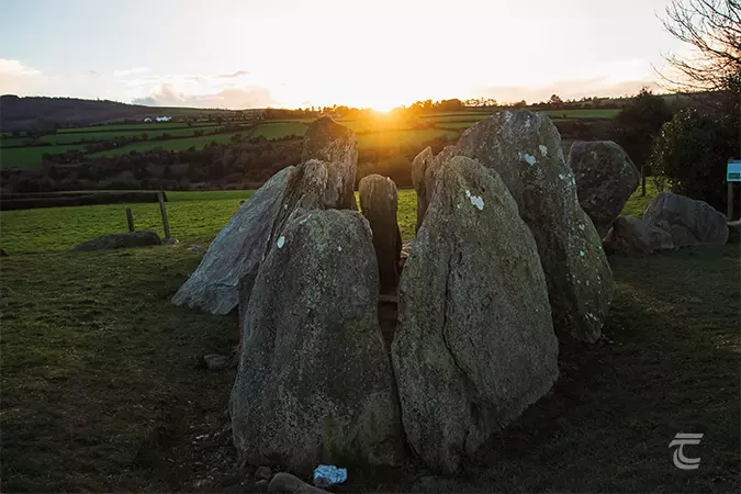 Enclosure in Knockroe (mason)Enclosure · 115 yd
 RoadRoad, road/trackway · 158 yd
 CastleCastle, unclassified · 348 yd
 St Lawrence's WellSpring · 1366 yd
 Church (in ruins)Church · 1381 yd
 Bawn in Ludden MoreBawn · 1.0 mi
 Wych ElmWych Elm · 1.1 mi
 Banoge's WellSpring · 2.7 mi
 Grange Stone CircleArchaeological place · 4.7 mi
 Graveyard in AbingtonGraveyard · 5.1 mi
 Kilteely HillMountain / peak · 6.0 mi