What is recorded here
Situated on a NE-facing slope. A circular grass-covered area (diam. c. 45m) defined by what is probably a wide bank (Wth c. 10m) is visible on Digital Globe imagery (c. 2013). It is also faintly visible on Map Genie imagery (2004-06) and Google Earth (03/04/2021; 26/03/2022). It was first reported by Anne-Karoline Distel.
See the attached view from Digital Globe
Compiled by: Michael Moore
Date of upload: 7 December 2022
The monument record does not grant public access. Check the route and ask the landowner before entering private land.
- What survives
- Recorded monument
Places near here
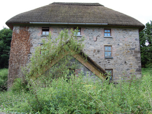 mill (water)mill (water) · 567 yd
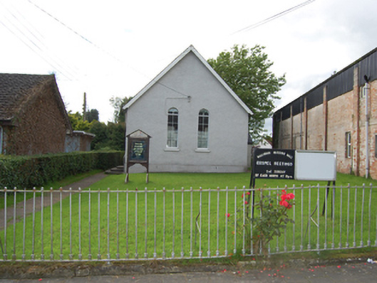 church/chapelchurch/chapel · 818 yd
 Caldragh (Site of)Church · 1220 yd
 Captain Thomas Sheridan IRAMonument · 1690 yd
 BroomhillWood · 1.1 mi
 Coolnacarrick ForestForest · 1.2 mi
 BellvilleMountain / peak · 1.7 mi
 DrumcarbanMountain / peak · 1.8 mi
 Lismore CastleCastle, unclassified · 2.1 mi
 Castle CosbyCastle, unclassified · 2.2 mi
 Red IslandIslet · 2.5 mi
 Carricknagore RockNamed rock · 3.4 mi