What is recorded here
Cairn is a 228-acre townland in County Cavan where prehistoric stones still mark the ground before medieval McKiernan clans shaped it into living land. The name itself remembers a burial mound or stone heap, yet the place also held mills, forges, horses and walled houses when James Craig and later planters forced new life into confiscated fields. Some of those changes came through violence and surrender, others through lease and labour, but all of them left behind a landscape where memory and measurement keep colliding.
Davies (1948, 111) recorded that there was an early church here, apparently a short distance to the NE of the present church. Not visible at ground level.
The above description is derived from the published 'Archaeological Inventory of County Cavan' (Dublin: Stationery Office, 1995). In certain instances the entries have been revised and updated in the light of recent research.
Date of upload/revision: 22 December 2008
A megalithic cairn, likely dating to the Neolithic or early Bronze Age; its association with an early Christian site suggests possible later reuse or local continuity of sacred space.
The monument record does not grant public access. Check the route and ask the landowner before entering private land.
- What survives
- Recorded monument
Places near here
 Captain Thomas Sheridan IRAMonument · 745 yd
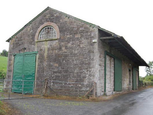 goods shedgoods shed · 908 yd
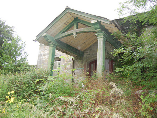 Crossdoney Railway Stationrailway station · 908 yd
 Coolnacarrick ForestForest · 1004 yd
 BellvilleMountain / peak · 1096 yd
 Fleming's FollyForest · 1185 yd
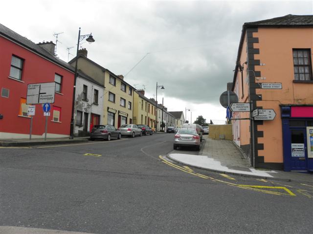 IndicatedFairy fort / earthen ringfort · 1439 yd
 Castle CosbyCastle, unclassified · 1.1 mi
 Lismore CastleCastle, unclassified · 1.3 mi
 DrumcarbanMountain / peak · 1.5 mi
 Carricknagore RockNamed rock · 3.0 mi
 Red IslandIslet · 3.1 mi