What is recorded here
This is the record for a monument identified by The Discovery Programme, from medium-altitude aerial photographs taken in 1986 [see Doody, M. (2008) The Ballyhoura Hills Project, Discovery Programme Monograph No 7, Wordwell, pp 65-100]. The reference for this monument is LI023: Bruff 229: AP 4/3738.
From the National Monuments Service (Archaeological Survey of Ireland) record LI023-134
The monument record does not grant public access. Check the route and ask the landowner before entering private land.
- What survives
- Recorded monument
Places near here
Photo credits
- National Inventory of Architectural Heritage
- Garry Dickinson, Geograph · CC BY-SA 2.0
- Mike Searle, Wikimedia Commons · CC BY-SA 2.0
- Hywel Williams, Geograph · Creative Commons Attribution-ShareAlike 2.0
- Colin Park, Geograph · CC BY-SA 2.0
 presbytery/parochial/curate's house1052 yd
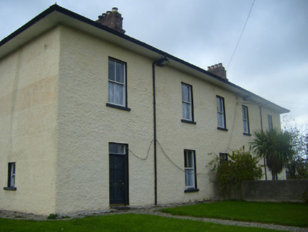 BrookvilleRic barracks · 1239 yd
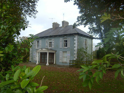 Brook VillaHouse · 1327 yd
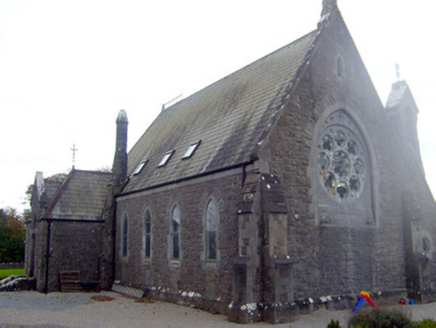 The Old ChurchChurch/chapel · 1389 yd
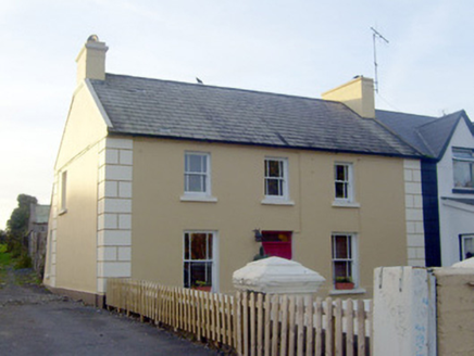 GreenvilleHouse · 1491 yd
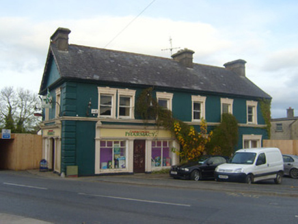 shop/retail outlet1503 yd
 CastleCastle, motte and bailey · 2.3 miGraveyard in AbingtonGraveyard · 3.5 mi
 Castle (in ruins)Castle, tower house · 11 mi
 Grave YardGraveyard · 14 mi
 SlievereaghMountain / peak · 15 mi
 Ladys WellHoly well · 15 mi
More archaeology and monuments in County Limerick · All of County Limerick
What do you know about this place?