
What is recorded here
In level improved mixed pasture and tillage. Visible on a 1968 aerial photograph (CUCAP AVM 18) as the cropmarks of two closely spaced concentric fosses defining a large sub-rectangular area (est. max. c. 90m NE-SW; c. 60m NW-SE).
Compiled by: Gearóid Conroy
Date of upload: 23 December 2013
The monument record does not grant public access. Check the route and ask the landowner before entering private land.
- What survives
- Recorded monument
Places near here
 Enclosure in ForestEnclosure · 769 yd
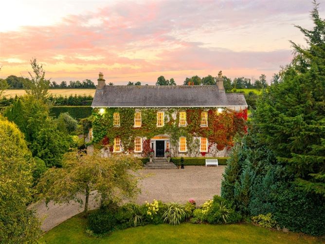 Enclosure in BarkersfordEnclosure · 856 yd
 Scots PineScots Pine · 1436 yd
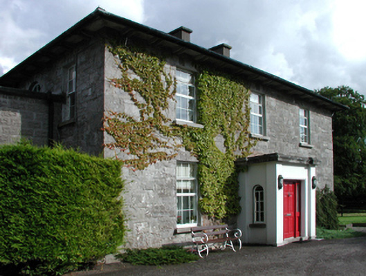 Russellstown Housefarm house · 1509 yd
 Whitechurch (in Ruins)Church · 1546 yd
 Inch CastleCastle, tower house · 1.1 mi
 Inch WoodForest · 1.4 mi
 Athy War MemorialMemorial · 1.6 mi
 Zoltan Zinn-Collis memorialMemorial · 1.7 mi
 Town HallMuseum · 1.9 mi
 Whites [sic] Castle, Police BarrackCastle, tower house · 2.0 mi
 History of Moat of ArdscullVisitor information · 2.2 mi
Other information
Photo: Credit not shown in the picture search · Rights wording not checked; contact us if this picture should be removed