What is recorded here
Four decades of ploughing erased the fort, but the soil still remembers the shape. A narrow ditch once cut a forty-five-metre circle on that gentle slope, perhaps holding a family, perhaps holding a secret. The fairy fort is not gone so much as waiting for rain to reveal its shadow again.
On a very gentle SW-facing slope in tillage. Visible on a 1968 aerial photograph (CUCAP AVM 17) as the cropmark of narrow fosse enclosing a circular area (est. max. diam. c. 45m). No visible surface trace survives. Possibly a ringfort site.
Compiled by: Gearóid Conroy
Date of upload: 16 December 2013
The monument record does not grant public access. Check the route and ask the landowner before entering private land.
- What survives
- Recorded monument
Places near here
 Whitechurch (in Ruins)Church · 339 yd
 Enclosure in BallycullaneEnclosure · 339 yd
 Ecclesiastical enclosure in BallycullaneEcclesiastical enclosure · 441 yd
 Inch CastleCastle, tower house · 1439 yd
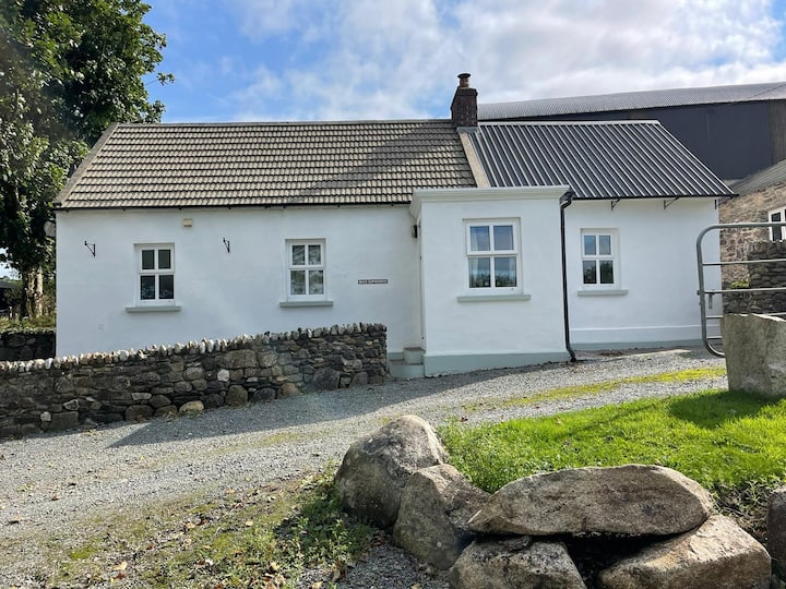 Ballycullane WoodForest · 1619 yd
 Inch WoodForest · 1.2 mi
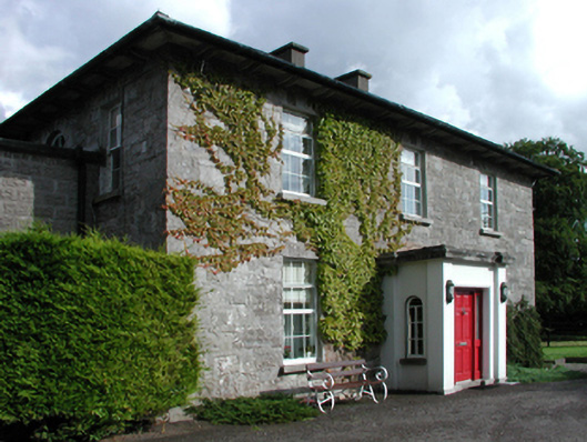 Russellstown Housefarm house · 1.5 mi
 Gorden Bennet Race memorialMemorial · 2.5 mi
 History of Moat of ArdscullVisitor information · 2.5 mi
 Town HallMuseum · 2.5 mi
 1798 memorialMemorial · 2.5 mi
 Ardscull MoatCastle, motte · 2.6 mi