
What is recorded here
On level ground overlooking a gentle E-facing slope in tillage. According to Fitzsymons (1906, 104-5), ‘… the ruins of Whitechurch (Kilbawn) … now form part of the mearin-ditch between the townlands of Turnerstown and Fox-hill (formerly called Knockshannagh). Very little now remains of the ruins, as only the walls, very much dilapidated, of a small oblong building are visible (int. 24.5 ft. [c. 7.47m] E-W; 14 ft [c. 4.27m] N-S; wall T 2ft 4 ins. [c. 0.71m]); at the west end the wall is five feet high [c. 1.52m]; they are nearly level with the ground on the north and east sides; the surrounding burial ground [KD035-029002-] is entirely obliterated.’ Fitzsymons shows a doorway (Wth 4.5 ft. [c. 1.37m]) near the W end of the S wall on his plan of the church (op. cit.). In 1985, the surviving walls, built of small undressed mortared limestone boulders, were only 0.9m high, the entrance was no longer identifiable and the field was ploughed up to the base of the church walls (SMR file). When re-inspected in 1996, the walls had been removed: an almost square patch of unploughed clay (18m E-W; 16m N-S) in a ploughed field marked the site of the church (SMR file).
Compiled by: Gearóid Conroy
Date of upload: 17 December 2013
The monument record does not grant public access. Check the route and ask the landowner before entering private land.
- What survives
- Recorded monument
Places near here
 Enclosure in BallycullaneEnclosure · 151 yd
 Ecclesiastical enclosure in BallycullaneEcclesiastical enclosure · 244 yd
 Inch CastleCastle, tower house · 1127 yd
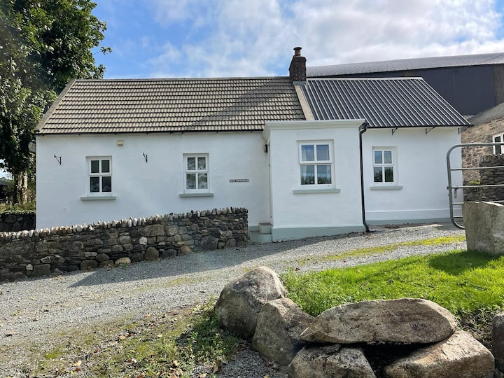 Ballycullane WoodForest · 1318 yd
 Inch WoodForest · 1724 yd
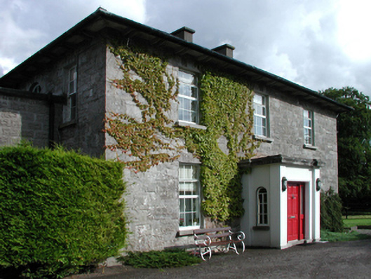 Russellstown Housefarm house · 1.4 mi
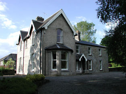 Burtownfarm house · 1.6 mi
 Burtown House and GardensHeritage attraction · 2.0 mi
 Gorden Bennet Race memorialMemorial · 2.4 mi
 History of Moat of ArdscullVisitor information · 2.4 mi
 Ardscull MoatCastle, motte · 2.4 mi
 1798 memorialMemorial · 2.7 mi
Other information
Photo: Credit not shown in the picture search · Rights wording not checked; contact us if this picture should be removed