What is recorded here
No fort wall or ditch remains visible on the low pasture rise in Russellstown, yet a 1973 aerial photograph still showed a circular cropmark about forty metres across and a larger rectangular field mark crossing it. The circular mark may be the buried fosse of a ringfort, while the rectangular mark may be a later field built over it. The fort has vanished from the surface but is still written in the soil, waiting for rain or drought to draw its shape again.
On a low pasture rise. Aerial photograph (CUCAP BOC 64 (1973)) shows the cropmark of a fosse enclosing a circular area (est. diam. c. 40m), probably a ringfort site, together with the cropmark a of a larger rectangular enclosure (est. c. 70m NE-SW; c. 60m NW-SE), probably a field, overlying the circular enclosure. No visible surface traces survive.
Compiled by: Gearóid Conroy
Date of upload: 28 November 2013
The monument record does not grant public access. Check the route and ask the landowner before entering private land.
- What survives
- Recorded monument
Places near here
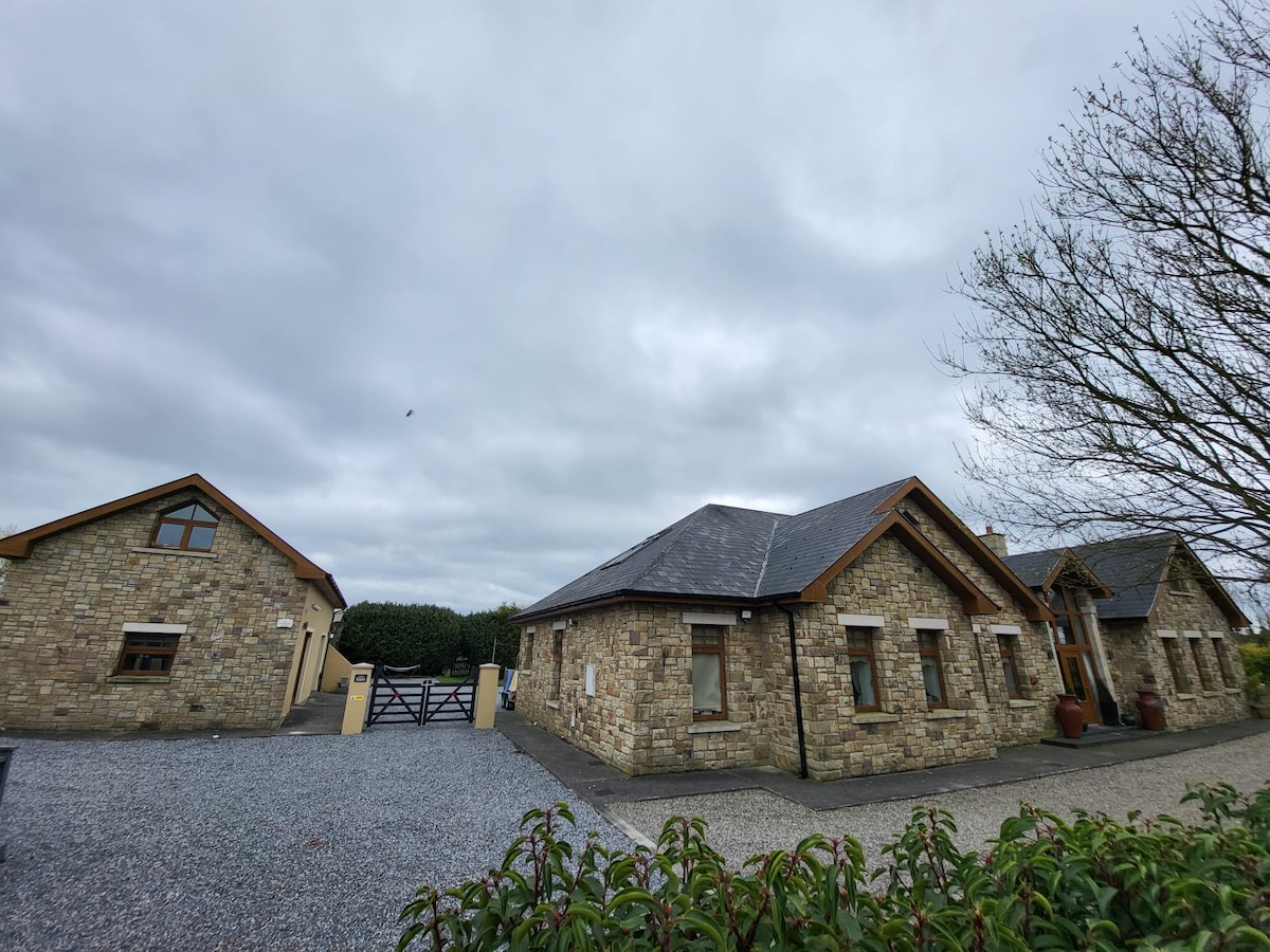 Font in Russellstown (athy Rural Ed)Font · 171 yd
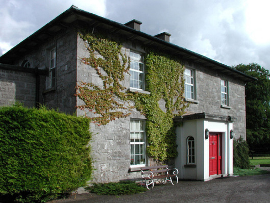 Russellstown Housefarm house · 217 yd
 Scots PineScots Pine · 582 yd
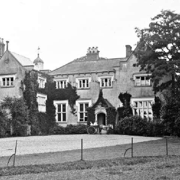 Enclosure in ArdscullEnclosure · 943 yd
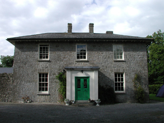 Ardmore Housefarm house · 993 yd
 European BeechEuropean Beech · 1.3 mi
 Inch CastleCastle, tower house · 1.3 mi
 History of Moat of ArdscullVisitor information · 1.3 mi
 Gorden Bennet Race memorialMemorial · 1.3 mi
 Ardscull MoatCastle, motte · 1.3 mi
 Athy War MemorialMemorial · 2.1 mi
 Town HallMuseum · 2.4 mi