What is recorded here
Situated on a natural terrace on the slope of a high hill. The ground falls steeply to a stream 20m to W. Trapezium-shaped area (int. dims. c. 28m N-S x 27.5m across its broader S side) enclosed by the remains of a bank and fosse on its W side and elsewhere by a low earthen bank and a well-defined, partly waterlogged fosse. Original entrance not recognisable.
From the National Monuments Service (Archaeological Survey of Ireland) record CV021-039
The monument record does not grant public access. Check the route and ask the landowner before entering private land.
- What survives
- Recorded monument
Places near here
Photo credits
- Deadstar, Wikimedia Commons · CC BY-SA 4.0
- National Inventory of Architectural Heritage
- Malene Thyssen, Wikimedia Commons · CC BY-SA 3.0
- Peter Gerken, Geograph · CC BY-SA 2.0
- Algirdas at Lithuanian Wikipedia, Wikimedia Commons · Public domain
IndicatedFairy fort / earthen ringfort · 1286 yd Fin Mc Cools FingersStone row · 1.1 miCastleterra RectoryRectory/glebe/vicarage/curate's house · 1.1 miSt Patrick's Roman Catholic ChurchChurch/chapel · 1.2 miBillisMountain / peak · 1.5 miEuropean Beech1.9 miGarden IsleIslet · 1.9 miBallyhaise HouseCastle, unclassified · 2.0 miCorgarveMountain / peak · 2.0 miCastleCastle, unclassified · 2.1 miRambling at Farnham EstateVisitor information · 3.7 miPedunculate Oak4.2 mi
 Fin Mc Cools FingersStone row · 1.1 mi
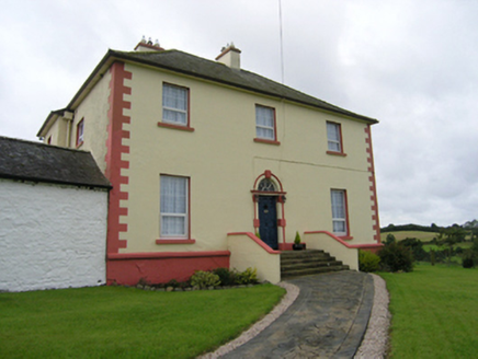 Castleterra RectoryRectory/glebe/vicarage/curate's house · 1.1 mi
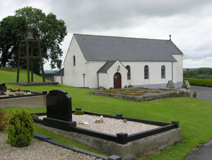 St Patrick's Roman Catholic ChurchChurch/chapel · 1.2 miBillisMountain / peak · 1.5 mi
 European Beech1.9 miGarden IsleIslet · 1.9 miBallyhaise HouseCastle, unclassified · 2.0 miCorgarveMountain / peak · 2.0 miCastleCastle, unclassified · 2.1 mi
 Rambling at Farnham EstateVisitor information · 3.7 mi
 Pedunculate Oak4.2 mi
More archaeology and monuments in County Cavan · All of County Cavan
What do you know about this place?