What is recorded here
Raised circular area (int. diam. 25m) enclosed by a slight earthen bank. External fosse has been infilled but its outline is still identifiable. The rath is encircled by a modern bank from NE-S-WSW which may easily be confused with the original bank. Original entrance not recognisable.
From the National Monuments Service (Archaeological Survey of Ireland) record CV020-027
The monument record does not grant public access. Check the route and ask the landowner before entering private land.
- What survives
- Recorded monument
Places near here
Photo credits
- National Inventory of Architectural Heritage
- Deadstar, Wikimedia Commons · CC BY-SA 4.0
- Malene Thyssen, Wikimedia Commons · CC BY-SA 3.0
- Peter Gerken, Geograph · CC BY-SA 2.0
- Algirdas at Lithuanian Wikipedia, Wikimedia Commons · Public domain
Enclosure in Fartan LowerEnclosure · 1286 ydBillisMountain / peak · 1406 yd Saint Patrick's Catholic CollegeOutbuilding · 1.0 miSaint Patrick's Catholic CollegeMonastery, school · 1.1 miFin Mc Cools FingersStone row · 1.6 miEuropean Beech1.9 miOwen Roe O'Neill graveMemorial · 2.2 miCastleCastle, unclassified · 2.2 miDerrygarra UpperMountain / peak · 2.4 miGarden IsleIslet · 2.5 miRambling at Farnham EstateVisitor information · 3.0 miPedunculate Oak3.5 mi
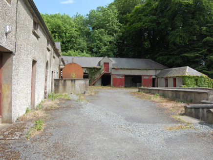 Saint Patrick's Catholic CollegeOutbuilding · 1.0 mi
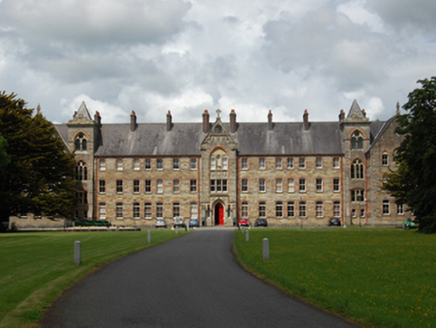 Saint Patrick's Catholic CollegeMonastery, school · 1.1 mi
 Fin Mc Cools FingersStone row · 1.6 mi
 European Beech1.9 miOwen Roe O'Neill graveMemorial · 2.2 miCastleCastle, unclassified · 2.2 miDerrygarra UpperMountain / peak · 2.4 miGarden IsleIslet · 2.5 mi
 Rambling at Farnham EstateVisitor information · 3.0 mi
 Pedunculate Oak3.5 mi
More archaeology and monuments in County Cavan · All of County Cavan
What do you know about this place?